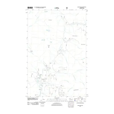
2011 Map of Davis Peak
USGS Topo · Published 2011About this map
Cle Elum River and the Waptus River converge in this high-altitude landscape of the Washington Cascades, which serves as a significant intersection of water and mountain terrain. Historically oriented around mining and fire prevention, the area features the high-elevation Elsnor Mine and strategically placed fire stations like Davis Peak Lookout and Jolly Mountain Lookout. The river system is a central organizing force, with the West Fork Teanaway River and Salmon la Sac Creek carving deep drainages between Goat Mountain and Huckleberry Mountain. In the valley floors, the presence of Salmon la Sac Campground, Cayuse Campground, and Hour Creek Campground indicates the established recreational use of these public lands. Small alpine basins hold numerous water bodies including Moonshine Lake, Michael Lake, and Lake Terence, while local landmarks like China Point rise above the complex network of forest roads and trails.
Find a feature on this map
34 named features on this map. Tap any name to fly to it.
Don’t see what you’re looking for? This feature index may not catch every label — zoom into the map to look around manually.
Map Details
Editions of this 2011 Davis Peak Map
This is the sole edition of this map. No revisions or reprints were ever made.
Other maps of this area

1897 · Mount Stuart
USGS Topo · 1:125,000

1901 · Chiwaukum
USGS Topo · 1:125,000

1901 · Snoqualmie Pass
USGS Topo · 1:125,000

1902 · Skykomish
USGS Topo · 1:125,000

1902 · Mount Stuart
USGS Topo · 1:125,000

1903 · Snoqualmie
USGS Topo · 1:125,000

1904 · Chiwaukum
USGS Topo · 1:125,000

1905 · Skykomish
USGS Topo · 1:125,000

1957 · Wenatchee
USGS Topo · 1:250,000

1961 · Mount Stuart
USGS Topo · 1:62,500