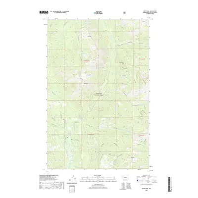
2020 Map of Davis Peak
USGS Topo · Published 2020About this map
Wenatchee National Forest dominates this Kittitas County landscape, defined by a network of high-elevation peaks and glacial lakes. Centered on Davis Peak, the area serves as a significant drainage basin for the Cle Elum River, Cooper River, and the Waptus River. The map documents a rugged alpine environment where Lake Michael, Opal Lake, and Moonshine Lake sit beneath summits like Goat Mountain and Huckleberry Mountain.
Find a feature on this map
56 named features on this map. Tap any name to fly to it.
Don’t see what you’re looking for? This feature index may not catch every label — zoom into the map to look around manually.
Map Details
Editions of this 2020 Davis Peak Map
This is the sole edition of this map. No revisions or reprints were ever made.
Other maps of this area

1897 · Mount Stuart
USGS Topo · 1:125,000

1901 · Chiwaukum
USGS Topo · 1:125,000

1901 · Snoqualmie Pass
USGS Topo · 1:125,000

1902 · Skykomish
USGS Topo · 1:125,000

1902 · Mount Stuart
USGS Topo · 1:125,000

1903 · Snoqualmie
USGS Topo · 1:125,000

1904 · Chiwaukum
USGS Topo · 1:125,000

1905 · Skykomish
USGS Topo · 1:125,000

1957 · Wenatchee
USGS Topo · 1:250,000

1961 · Mount Stuart
USGS Topo · 1:62,500