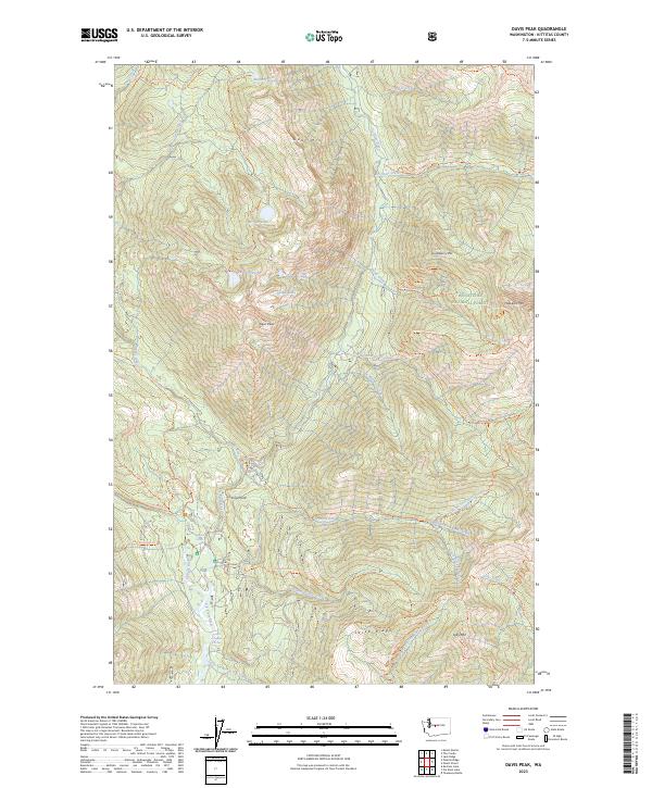
2023 Map of Davis Peak
USGS Topo · Published 2023About this map
The high alpine country of the Alpine Lakes Wilderness and Wenatchee National Forest is defined here by a network of steep peaks and remote water bodies. Dominating the central landscape, Davis Peak overlooks Opal Lake and Lake Terence, while the northern reaches include Goat Mtn and Moonshine Lake. The drainage systems of the Cle Elum River and Waptus River provide the primary geographic structure for this terrain.
Find a feature on this map
54 named features on this map. Tap any name to fly to it.
Don’t see what you’re looking for? This feature index may not catch every label — zoom into the map to look around manually.
Map Details
Editions of this 2023 Davis Peak Map
This is the sole edition of this map. No revisions or reprints were ever made.
Other maps of this area

1897 · Mount Stuart
USGS Topo · 1:125,000

1901 · Chiwaukum
USGS Topo · 1:125,000

1901 · Snoqualmie Pass
USGS Topo · 1:125,000

1902 · Skykomish
USGS Topo · 1:125,000

1902 · Mount Stuart
USGS Topo · 1:125,000

1903 · Snoqualmie
USGS Topo · 1:125,000

1904 · Chiwaukum
USGS Topo · 1:125,000

1905 · Skykomish
USGS Topo · 1:125,000

1957 · Wenatchee
USGS Topo · 1:250,000

1961 · Mount Stuart
USGS Topo · 1:62,500