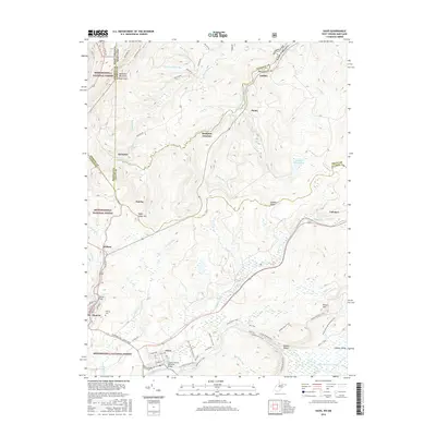
2016 Map of Davis
USGS Topo · Published 2016About this map
The North Branch Potomac River serves as the state boundary between Maryland and West Virginia, carving a winding path through the high elevations of the Allegheny Mountains. This landscape is defined by the convergence of industrial history and conservation, where the Monongahela National Forest encompasses massive ridges like Backbone Mountain and the broad wetlands of the Canaan Valley. The settlements of Thomas and Davis are the primary hubs in this region, connected by the historical corridor of US Rte 219.
Find a feature on this map
78 named features on this map. Tap any name to fly to it.
Don’t see what you’re looking for? This feature index may not catch every label — zoom into the map to look around manually.
Map Details
Editions of this 2016 Davis Map
This is the sole edition of this map. No revisions or reprints were ever made.
Other maps of this area

1886 · St. George
USGS Topo · 1:125,000

1891 · St. George
USGS Topo · 1:125,000

1895 · Piedmont
USGS Topo · 1:125,000

1899 · Oakland
USGS Topo · 1:62,500

1900 · Oakland
USGS Topo · 1:62,500

1907 · Kingwood
USGS Topo · 1:62,500

1908 · Parsons
USGS Topo · 1:62,500

1916 · Davis
USGS Topo · 1:48,000

1918 · Davis
USGS Topo · 1:62,500

1919 · Davis
USGS Topo · 1:62,500