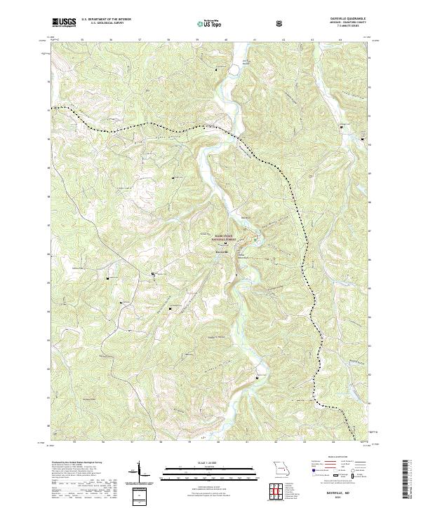
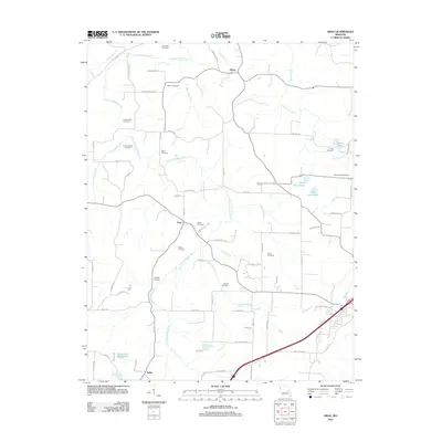
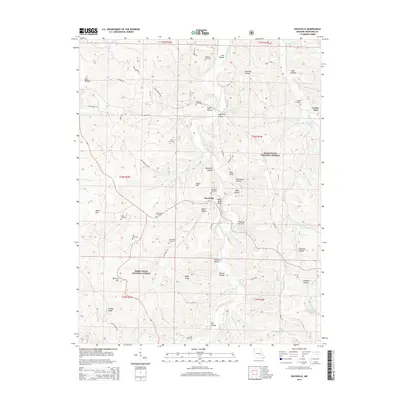
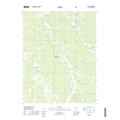
2021 Map of Davisville
USGS Topo · Published 2021About this map
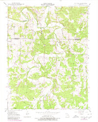
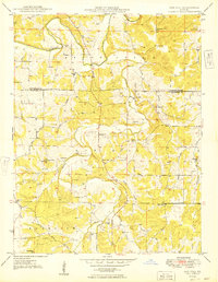
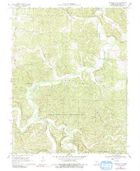
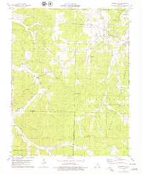
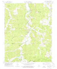
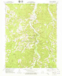
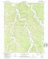
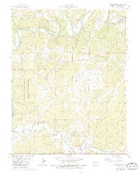
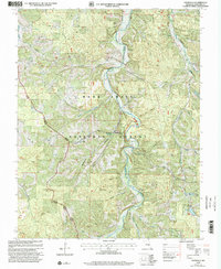
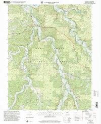
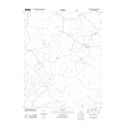
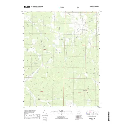
Huzzah Creek winds through the heart of this landscape, carving a valley that defines the settlement patterns and recreation within the Mark Twain National Forest. The small community of Davisville sits at a crossroads of forest trails and river access, serving as a gateway to the Red Bluff Rec Area and the striking Indian Rock Bluff. The area's history is deeply rooted in family landholdings, evidenced by an exceptionally high density of small family burial grounds such as Woodlock Cem, Dohammer Cem, and Turnbough Cem. These sites, often situated on high ground above hollows like Davisville Hollow or Pyatt Hollow, provide a detailed genealogical record of the homesteaders who worked the timber and land between the steep ridges of Bald Knob and Green Hill.
Find a feature on this map
57 named features on this map. Tap any name to fly to it.
Don’t see what you’re looking for? This feature index may not catch every label — zoom into the map to look around manually.
Map Details
Editions of this 2021 Davisville Map
This is the sole edition of this map. No revisions or reprints were ever made.
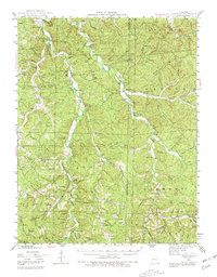
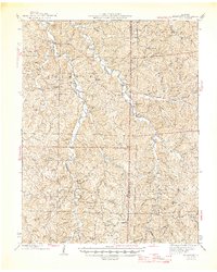
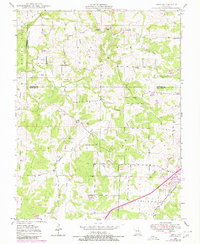
Historical Maps of Davisville Through Time
45 maps found
1943 Berryman
Crawford County, MO
1945 Berryman
Crawford County, MO
1948 Argo
Crawford County, MO
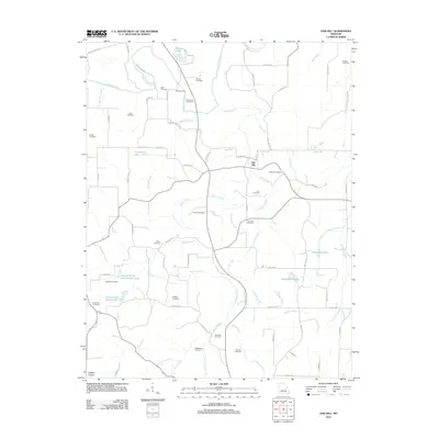
1948 Oak Hill
Crawford County, MO
1949 Oak Hill
Crawford County, MO
1969 Onondaga Cave
Crawford County, MO
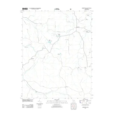
1978 Cherryville
Crawford County, MO
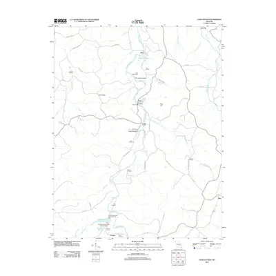
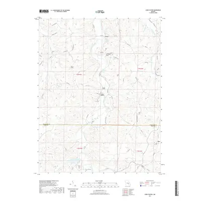
1978 Cook Station
Crawford County, MO
1978 Davisville
Crawford County, MO
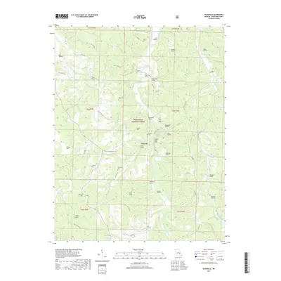
1978 Huzzah
Crawford County, MO
1978 Indian Springs
Crawford County, MO
1999 Davisville
Crawford County, MO
1999 Huzzah
Crawford County, MO
2011 Davisville
Crawford County, MO
2011 Huzzah
Crawford County, MO

2011 Indian Springs
Crawford County, MO
2012 Argo
Crawford County, MO
2012 Cherryville
Crawford County, MO
2012 Cook Station
Crawford County, MO
2012 Oak Hill
Crawford County, MO
2012 Onondaga Cave
Crawford County, MO
2015 Argo
Crawford County, MO
2015 Cherryville
Crawford County, MO
2015 Cook Station
Crawford County, MO
2015 Davisville
Crawford County, MO
2015 Huzzah
Crawford County, MO

2015 Indian Springs
Crawford County, MO
2015 Oak Hill
Crawford County, MO
2015 Onondaga Cave
Crawford County, MO
2017 Argo
Crawford County, MO
2017 Cherryville
Crawford County, MO
2017 Cook Station
Crawford County, MO
2017 Davisville
Crawford County, MO
2017 Huzzah
Crawford County, MO
2017 Indian Springs
Crawford County, MO
2017 Oak Hill
Crawford County, MO
2017 Onondaga Cave
Crawford County, MO
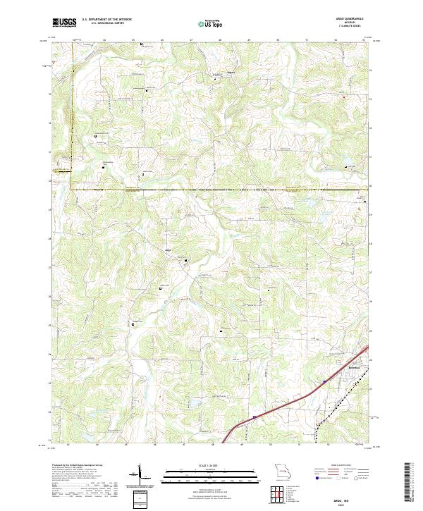
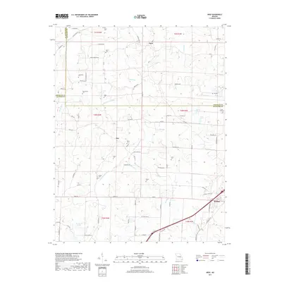
2021 Argo
Crawford County, MO
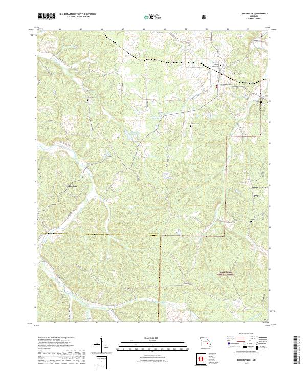
2021 Cherryville
Crawford County, MO
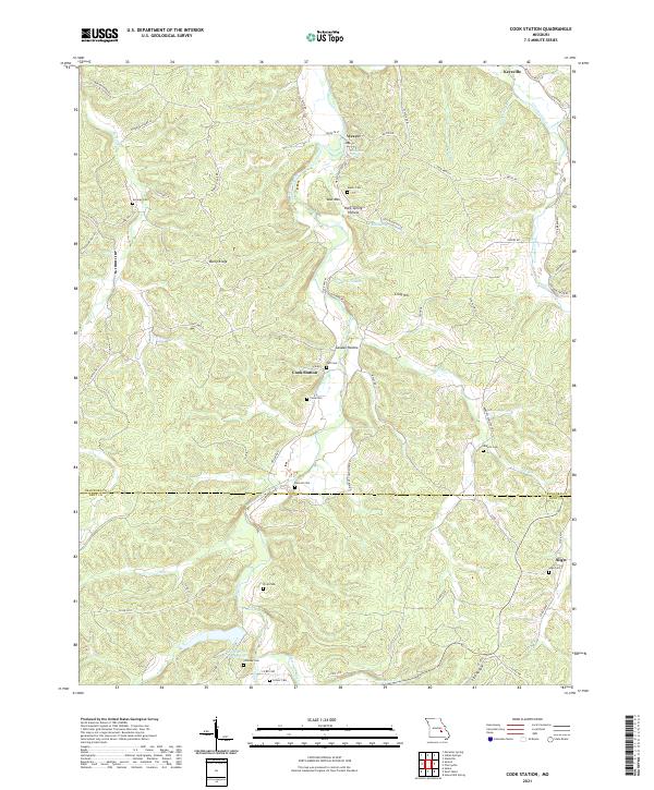
2021 Cook Station
Crawford County, MO
2021 Davisville
Crawford County, MO
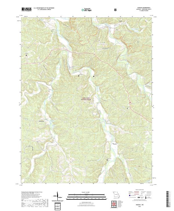
2021 Huzzah
Crawford County, MO
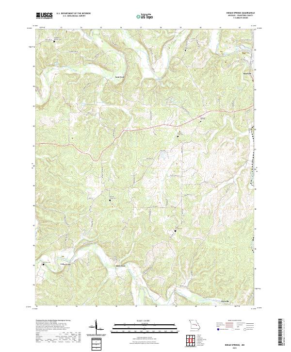
2021 Indian Springs
Crawford County, MO
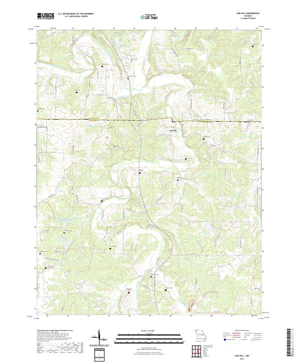
2021 Oak Hill
Crawford County, MO
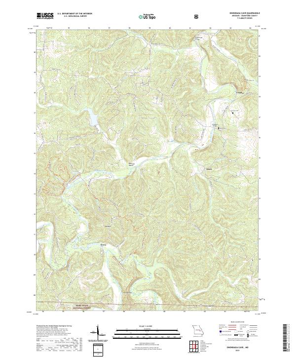
2021 Onondaga Cave
Crawford County, MO