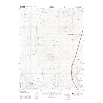
2013 Map of Dawson Butte
USGS Topo · Published 2013About this map
Dawson Butte dominates the central landscape of this Douglas County quadrangle, situated within a complex network of canyons and gulches like North Gulch and Hog John Gulch. The residential growth of Castle Rock and Monte Vista Estates contrasts with the managed wilderness of the Pike Nat For and the prominent Hunt Mountain to the southeast. Water management is a key feature of this arid terrain, evidenced by the Benjamin Quick Ditch and several catchments including Waucondah Reservoir and Stevens Reservoir Number 2 and 3.
Find a feature on this map
108 named features on this map. Tap any name to fly to it.
Don’t see what you’re looking for? This feature index may not catch every label — zoom into the map to look around manually.
Map Details
Editions of this 2013 Dawson Butte Map
This is the sole edition of this map. No revisions or reprints were ever made.
Other maps of this area
1893 · Platte Canyon
USGS Topo · 1:125,000
1894 · Castle Rock
USGS Topo · 1:125,000
1913 · Castle Rock
USGS Topo · 1:125,000
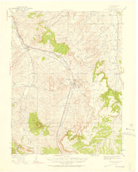
1940 · Castle Rock
USGS Topo · 1:62,500
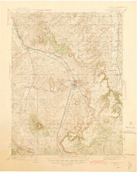
1945 · Castle Rock
USGS Topo · 1:62,500
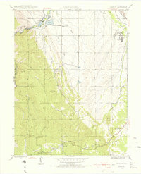
1945 · Kassler
USGS Topo · 1:24,000
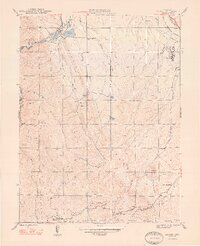
1948 · Kassler
USGS Topo · 1:24,000
1953 · Denver
USGS Topo · 1:250,000
1954 · Devils Head
USGS Topo · 1:24,000
1954 · Greenland
USGS Topo · 1:24,000