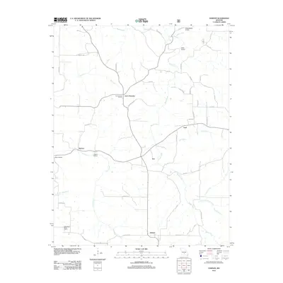
2012 Map of Dawson
USGS Topo · Published 2012About this map
Beaver Creek and its many tributaries, including Tom Branch and the North Fork Beaver Creek, dictate the geography of this rural Wright County landscape. Small crossroads settlements like Graff, Rayborn, and Rail are connected by a network of local routes such as Crewesford Rd and Rayborn Rd, reflecting a dispersed agricultural community structure. In the northern reaches, the terrain is marked by descriptive landforms like Schoolhouse Hollow and Hattie Hollow, while the Green Mountain Cemetery serves as a central landmark for local genealogy near the Green Mountain community.
Find a feature on this map
49 named features on this map. Tap any name to fly to it.
Don’t see what you’re looking for? This feature index may not catch every label — zoom into the map to look around manually.
Map Details
Editions of this 2012 Dawson Map
This is the sole edition of this map. No revisions or reprints were ever made.
Other maps of this area

1931 · Manes
USGS Topo · 1:48,000

1941 · Manes
USGS Topo · 1:62,500

1941 · Bado
USGS Topo · 1:62,500

1943 · Manes
USGS Topo · 1:62,500

1943 · Bado
USGS Topo · 1:62,500

1951 · Mountain Grove North
USGS Topo · 1:24,000

1951 · Cabool NW
USGS Topo · 1:24,000

1951 · Owens
USGS Topo · 1:24,000

1951 · Cabool
USGS Topo · 1:62,500

1951 · Mountain Grove
USGS Topo · 1:62,500