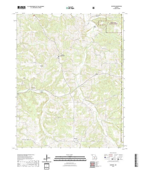
2021 Map of Dawson
USGS Topo · Published 2021About this map
Green Mountain Cem sits atop a high ridge at the center of this rural Ozark landscape, overlooking the headwaters and drainages of the Beaver Cr watershed. The area is characterized by a network of steep hollows, including Schoolhouse Hollow, Prairie Hollow, and Greene Hollow, which dictate the winding paths of local routes like State Hwy JJ. Small crossroads settlements such as Rayborn, Graff, and Dawson are scattered across the terrain, connected by a dense system of county roads and residential drives.
Find a feature on this map
50 named features on this map. Tap any name to fly to it.
Don’t see what you’re looking for? This feature index may not catch every label — zoom into the map to look around manually.
Map Details
Editions of this 2021 Dawson Map
This is the sole edition of this map. No revisions or reprints were ever made.
Other maps of this area

1931 · Manes
USGS Topo · 1:48,000

1941 · Manes
USGS Topo · 1:62,500

1941 · Bado
USGS Topo · 1:62,500

1943 · Manes
USGS Topo · 1:62,500

1943 · Bado
USGS Topo · 1:62,500

1951 · Mountain Grove North
USGS Topo · 1:24,000

1951 · Cabool NW
USGS Topo · 1:24,000

1951 · Owens
USGS Topo · 1:24,000

1951 · Cabool
USGS Topo · 1:62,500

1951 · Mountain Grove
USGS Topo · 1:62,500