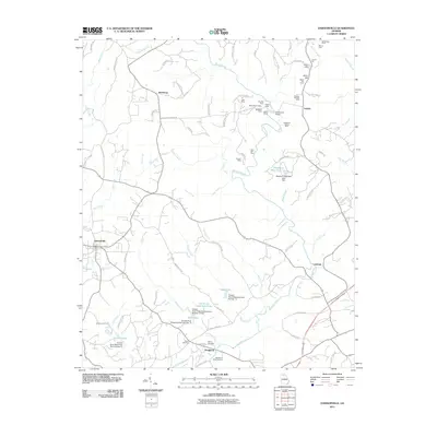
2011 Map of Dawsonville
USGS Topo · Published 2011About this map
Auraria stands as a focal point of this North Georgia landscape, an area defined by the winding course of the Etowah River and a legacy of mining. The map reveals an intensive history of extraction, evidenced by a dense concentration of shafts and workings such as the Battle Branch Mine, Blackwell Shaft, and the Pollard Tunnel. These industrial landmarks are clustered near Castleberry Bridge, illustrating the historical intersection of transportation and the search for gold in the region.
Find a feature on this map
95 named features on this map. Tap any name to fly to it.
Don’t see what you’re looking for? This feature index may not catch every label — zoom into the map to look around manually.
Map Details
Editions of this 2011 Dawsonville Map
This is the sole edition of this map. No revisions or reprints were ever made.
Other maps of this area

1886 · Dahlonega
USGS Topo · 1:125,000

1888 · Ellijay
USGS Topo · 1:125,000

1890 · Suwanee
USGS Topo · 1:125,000

1891 · Gainesville
USGS Topo · 1:125,000

1892 · Dahlonega
USGS Topo · 1:125,000

1892 · Ellijay
USGS Topo · 1:125,000

1894 · Suwanee
USGS Topo · 1:125,000

1896 · Dahlonega
USGS Topo · 1:125,000

1898 · Ellijay
USGS Topo · 1:125,000

1903 · Dahlonega
USGS Topo · 1:125,000