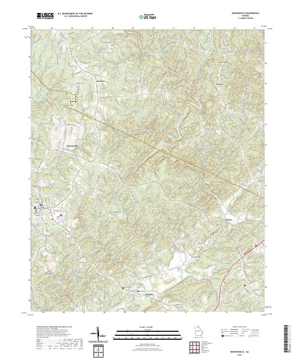
2024 Map of Dawsonville
USGS Topo · Published 2024About this map
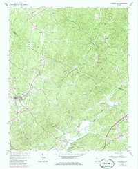
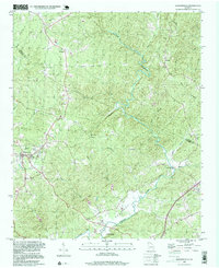
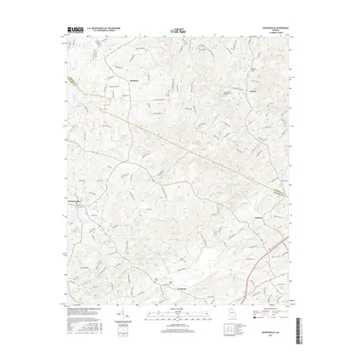
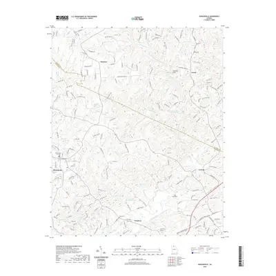
The Etowah River carves through this northern Georgia landscape, serving as a primary drainage for numerous tributaries like Shoal Creek and Proctor Creek. The seat of local government is anchored at the Dawson County Courthouse in Dawsonville, which serves as a central hub for the surrounding settlements of Auraria and Burtsboro. This contemporary survey illustrates the persistent rural character of the region, where family legacies are preserved at the Martin Cem and Palmer Cem near the community of Dougherty.
Find a feature on this map
161 named features on this map. Tap any name to fly to it.
Don’t see what you’re looking for? This feature index may not catch every label — zoom into the map to look around manually.
Map Details
Editions of this 2024 Dawsonville Map
This is the sole edition of this map. No revisions or reprints were ever made.
Historical Maps of Dawsonville Through Time
7 maps found