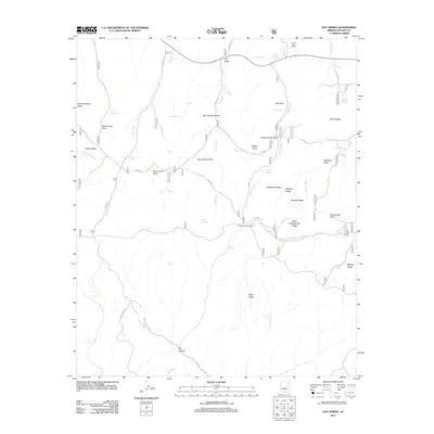
2011 Map of Day Spring
USGS Topo · Published 2011About this map
The Aripine Post Office stands as a primary landmark in this high-country landscape of Navajo County, where the terrain is defined by a series of prominent ridges and drainages. The map reveals an intricate network of forest service roads, such as FS RD 146 and FS RD 145, which provide access to essential water sources like Bear Springs and the Deer Springs Lookout. This area serves as a critical junction of natural topography and infrastructure, where features like Telephone Ridge and Crooked Ridge overlook numerous stock tanks and washes, including Willow Wash and Decker Wash. The naming of landmarks such as Dead Horse Point and Potato Patch reflects a history of local ranching and land use, while the presence of the Aripine Post Office underscores the settlement patterns of this remote northern Arizona region.
Find a feature on this map
56 named features on this map. Tap any name to fly to it.
Don’t see what you’re looking for? This feature index may not catch every label — zoom into the map to look around manually.
Map Details
Editions of this 2011 Day Spring Map
This is the sole edition of this map. No revisions or reprints were ever made.
Other maps of this area

1886 · Holbrook
USGS Topo · 1:250,000

1893 · Holbrook
USGS Topo · 1:250,000

1954 · Holbrook
USGS Topo · 1:250,000

1957 · Holbrook
USGS Topo · 1:250,000

1958 · Holbrook
USGS Topo · 1:250,000

1960 · Holbrook
USGS Topo · 1:250,000

1961 · Clay Springs
USGS Topo · 1:62,500

1961 · Heber
USGS Topo · 1:62,500

1961 · Cibecue
USGS Topo · 1:62,500

1961 · Chediski Peak
USGS Topo · 1:62,500