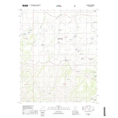
2018 Map of Day Spring
USGS Topo · Published 2018About this map
The General Crook historic trail route cuts across the high terrain of the Mogollon Plateau, providing a window into the nineteenth-century military and transport corridors of Navajo County. This landscape within the Sitgreaves National Forest is defined by a complex network of ridges and canyons, where water is managed through a system of livestock tanks such as Parker Tank, Z B Tank, and Lower Yarrow Tank. The drainage patterns of Becker Wash and Willow Wash underscore the seasonal hydrology of the region.
Find a feature on this map
64 named features on this map. Tap any name to fly to it.
Don’t see what you’re looking for? This feature index may not catch every label — zoom into the map to look around manually.
Map Details
Editions of this 2018 Day Spring Map
This is the sole edition of this map. No revisions or reprints were ever made.
Other maps of this area

1886 · Holbrook
USGS Topo · 1:250,000

1893 · Holbrook
USGS Topo · 1:250,000

1954 · Holbrook
USGS Topo · 1:250,000

1957 · Holbrook
USGS Topo · 1:250,000

1958 · Holbrook
USGS Topo · 1:250,000

1960 · Holbrook
USGS Topo · 1:250,000

1961 · Clay Springs
USGS Topo · 1:62,500

1961 · Heber
USGS Topo · 1:62,500

1961 · Cibecue
USGS Topo · 1:62,500

1961 · Chediski Peak
USGS Topo · 1:62,500