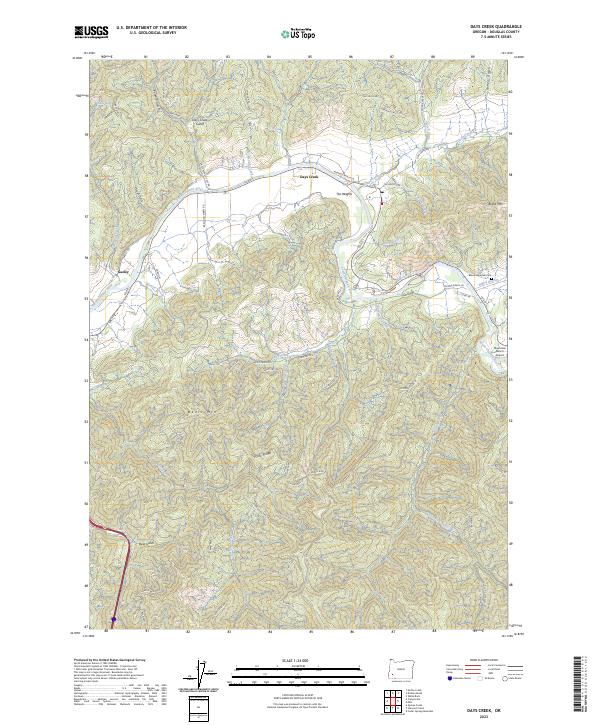
2023 Map of Days Creek
USGS Topo · Published 2023About this map
The South Umpqua River carves a winding path through this Douglas County landscape, serving as the primary geographic corridor for the settlements of Days Creek and The Heights. This 2023 survey illustrates a rural community defined by its proximity to the water and the rising terrain of Bland Mtn and Beals Mtn. Local transit is largely dictated by the river valley, with Days Creek Cutoff and Brandon Kibbey Rd connecting the riverside habitations to the surrounding timberlands. Genealogy researchers can locate the Bland Mountain Cem positioned on the high ground overlooking Bland Branch. The map also captures specialized land uses in the region, including the Riverview Ranch Airport near the riverbanks and protected areas like Hyde Park and Capitan Glasco. Smaller settlements like Gazley and named ridges such as Hyde Ridge indicate the dispersed nature of habitation across the township lines of T30S and T31S.
Find a feature on this map
72 named features on this map. Tap any name to fly to it.
Don’t see what you’re looking for? This feature index may not catch every label — zoom into the map to look around manually.
Map Details
Editions of this 2023 Days Creek Map
This is the sole edition of this map. No revisions or reprints were ever made.
Other maps of this area

1897 · Roseburg
USGS Topo · 1:125,000

1900 · Roseburg
USGS Topo · 1:125,000

1904 · Riddle
USGS Topo · 1:125,000

1954 · Dixonville
USGS Topo · 1:62,500

1954 · Days Creek
USGS Topo · 1:62,500

1954 · Canyonville
USGS Topo · 1:62,500

1955 · Roseburg
USGS Topo · 1:62,500

1955 · Medford
USGS Topo · 1:250,000

1957 · Medford
USGS Topo · 1:250,000

1958 · Medford
USGS Topo · 1:250,000