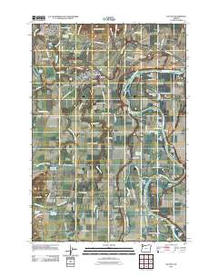
2011 Map of Dayton
USGS Topo · Published 2011About this map
The Yamhill River winds past the settlements of Lafayette and Dayton before reaching its confluence with the Willamette River on this 2011 survey. This landscape is defined by the fertile floodplains of the Dayton Prairie and French Prairie, where the river's meandering path has created a series of named features like Grand Island, Coffee Island, and Horseshoe Lake. The importance of the river as a historical artery is evidenced by numerous boat landings, including Weston Landing, Duke Landing, and Whites Landing.
Find a feature on this map
104 named features on this map. Tap any name to fly to it.
Don’t see what you’re looking for? This feature index may not catch every label — zoom into the map to look around manually.
Map Details
Editions of this 2011 Dayton Map
This is the sole edition of this map. No revisions or reprints were ever made.
Other maps of this area

1916 · Tualatin
USGS Topo · 1:62,500

1923 · Mount Angel
USGS Topo · 1:62,500

1924 · Mc Minnville
USGS Topo · 1:48,000

1926 · Mc Minnville
USGS Topo · 1:62,500

1939 · Tualatin
USGS Topo · 1:62,500

1940 · McMinnville
USGS Topo · 1:62,500

1940 · Tualatin
USGS Topo · 1:62,500

1940 · Mount Angel
USGS Topo · 1:62,500

1941 · Yamhill
USGS Topo · 1:62,500

1942 · Yamhill
USGS Topo · 1:62,500