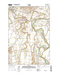
2014 Map of Dayton
USGS Topo · Published 2014About this map
The Yamhill River winds through this fertile valley, converging with the Willamette River amidst a landscape of agricultural prairies and riverside bars. The river dynamics are particularly evident at locations like Lambert Bend, Snaggy Bend Bar, and Coffee Island, reflecting the shifting nature of the local waterways. Settlement patterns follow the high ground and transportation corridors, with the towns of Lafayette and Dayton serving as primary hubs.
Find a feature on this map
90 named features on this map. Tap any name to fly to it.
Don’t see what you’re looking for? This feature index may not catch every label — zoom into the map to look around manually.
Map Details
Editions of this 2014 Dayton Map
This is the sole edition of this map. No revisions or reprints were ever made.
Other maps of this area

1916 · Tualatin
USGS Topo · 1:62,500

1923 · Mount Angel
USGS Topo · 1:62,500

1924 · Mc Minnville
USGS Topo · 1:48,000

1926 · Mc Minnville
USGS Topo · 1:62,500

1939 · Tualatin
USGS Topo · 1:62,500

1940 · McMinnville
USGS Topo · 1:62,500

1940 · Tualatin
USGS Topo · 1:62,500

1940 · Mount Angel
USGS Topo · 1:62,500

1941 · Yamhill
USGS Topo · 1:62,500

1942 · Yamhill
USGS Topo · 1:62,500