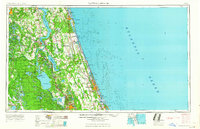
1964 Map of Daytona Beach
USGS Topo · Published 1964About this map
The Saint Johns River and the Atlantic Ocean define the geography of this mid-1960s coastal survey, framing a landscape of sprawling wetlands and growing beachfront communities. Coastal development is concentrated along the barrier islands and shoreline, stretching from St. Augustine and Anastasia Island south through Daytona Beach to New Smyrna Beach. Inland, the map reveals a different character dominated by the vast Ocala National Forest and a complex network of freshwater bodies, including the expansive Lake George and Crescent Lake.
Find a feature on this map
69 named features on this map. Tap any name to fly to it.
Don’t see what you’re looking for? This feature index may not catch every label — zoom into the map to look around manually.
Map Details
Editions of this 1964 Daytona Beach Map
This is the sole edition of this map. No revisions or reprints were ever made.
Other maps of this area
1893 · Panasoffkee
USGS Topo · 1:62,500
1893 · Citra
USGS Topo · 1:62,500
1895 · Citra
USGS Topo · 1:62,500
1895 · Panasoffkee
USGS Topo · 1:62,500
1895 · Ocala
USGS Topo · 1:62,500
1912 · Palatka
USGS Topo · 1:48,000
1915 · Palatka
USGS Topo · 1:62,500
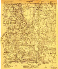
1915 · Interlachen
USGS Topo · 1:48,000
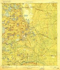
1916 · Interlachen
USGS Topo · 1:62,500

1917 · Orange Park
USGS Topo · 1:62,500