
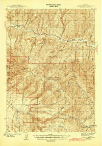
1992 Map of Dayville
USGS Topo · Published 1997About this map
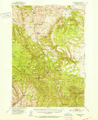
Dayville serves as the focal point of this Grant County survey, situated at the confluence of the John Day River and its south fork. The map records a landscape defined by ranching and resource management, including an aviation Landing Strip and a Flume south of town. Notable for genealogists is the Dayville Cem, while land use is clearly divided between private holdings and federal protections like the Ochoco National Forest and the John Day Fossil Beds Nat Mon (Sheep Rock Unit).
Find a feature on this map
51 named features on this map. Tap any name to fly to it.
Don’t see what you’re looking for? This feature index may not catch every label — zoom into the map to look around manually.
Map Details
Editions of this 1992 Dayville Map
This is the sole edition of this map. No revisions or reprints were ever made.
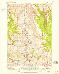
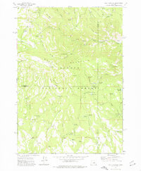
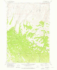
Other maps of this area
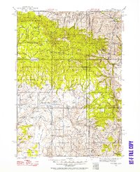
1932 · Dayville
USGS Topo · 1:125,000
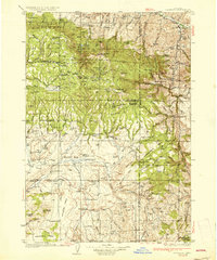
1936 · Dayville
USGS Topo · 1:125,000
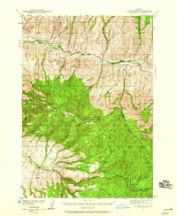
1940 · Aldrich Mtn.
USGS Topo · 1:62,500
1943 · Aldrich Mtn.
USGS Topo · 1:62,500
1951 · Courtrock
USGS Topo · 1:62,500
1953 · Picture
USGS Topo · 1:62,500

1955 · Canyon City
USGS Topo · 1:250,000

1959 · Canyon City
USGS Topo · 1:250,000
1972 · Wolf Mountain
USGS Topo · 1:24,000
1972 · Day Basin
USGS Topo · 1:24,000