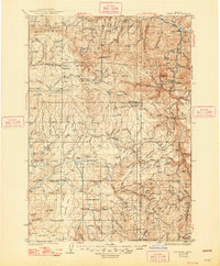
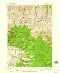
1936 Map of Dayville
USGS Topo · Published 1948About this map
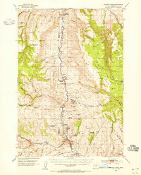
The Old Military Road crosses a high-elevation landscape of central Oregon, connecting the settlement of Dayville to the ranching and timbered uplands of the Malheur National Forest. Surveyed in the early 1930s, this area is defined by its remote outpost stations and high-plateau geography, including Shaw Table and Twelvemile Table. Family-named operations and seasonal camps like the Lister Ranch, Mills Ranch, and Munjar Place are scattered throughout the territory, linked by a network of trails and primitive roads.
Find a feature on this map
145 named features on this map. Tap any name to fly to it.
Don’t see what you’re looking for? This feature index may not catch every label — zoom into the map to look around manually.
Map Details
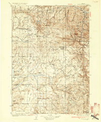
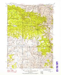
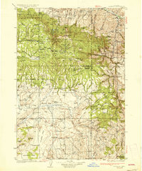
Editions of this 1936 Dayville Map
3 editions found
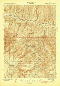
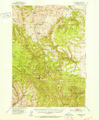
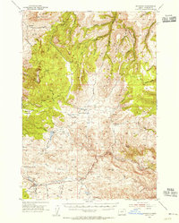
Other maps of this area

1926 · Mitchell
USGS Topo · 1:125,000
1932 · Dayville
USGS Topo · 1:125,000
1936 · Dayville
USGS Topo · 1:125,000
1940 · Aldrich Mtn.
USGS Topo · 1:62,500
1943 · Aldrich Mtn.
USGS Topo · 1:62,500
1951 · Courtrock
USGS Topo · 1:62,500
1953 · Richmond
USGS Topo · 1:62,500
1953 · Picture
USGS Topo · 1:62,500

1955 · Crescent
USGS Topo · 1:250,000

1955 · Bend
USGS Topo · 1:250,000