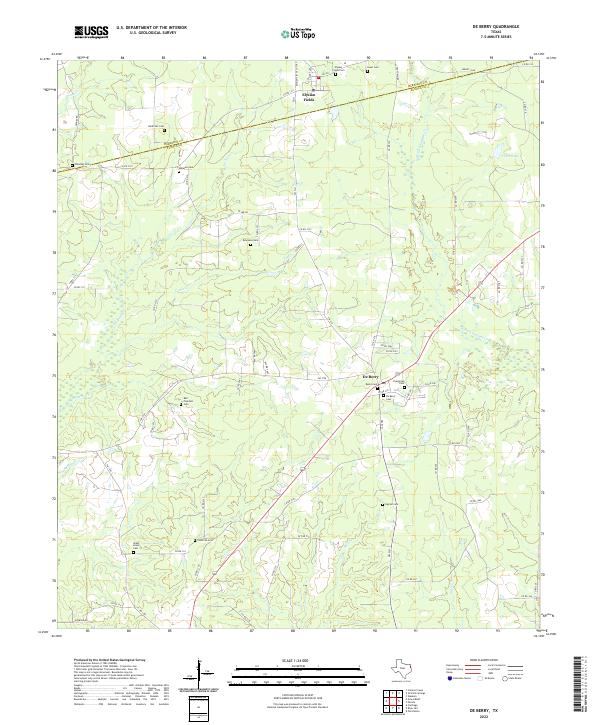
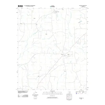
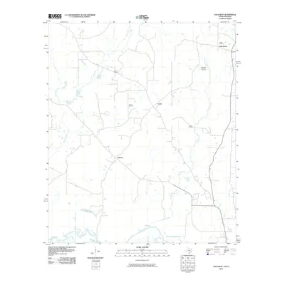
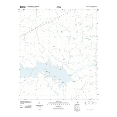
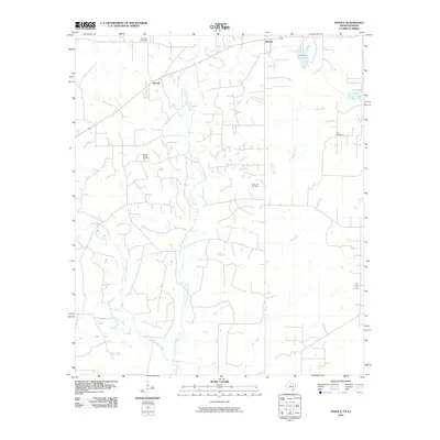
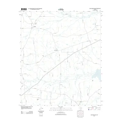
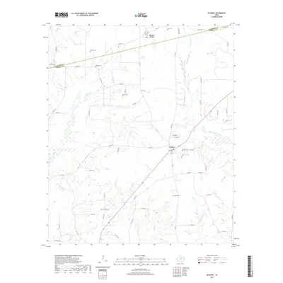
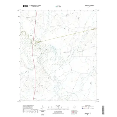
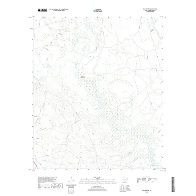
2022 Map of De Berry
USGS Topo · Published 2022About this map
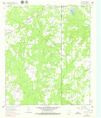
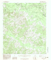
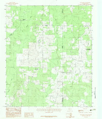
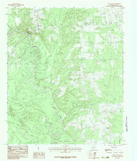
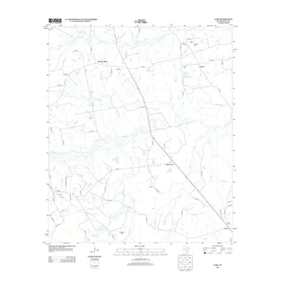
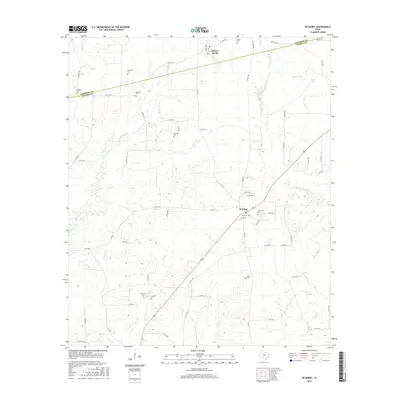
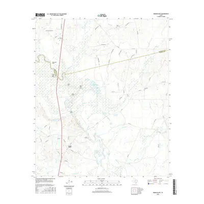
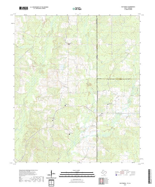
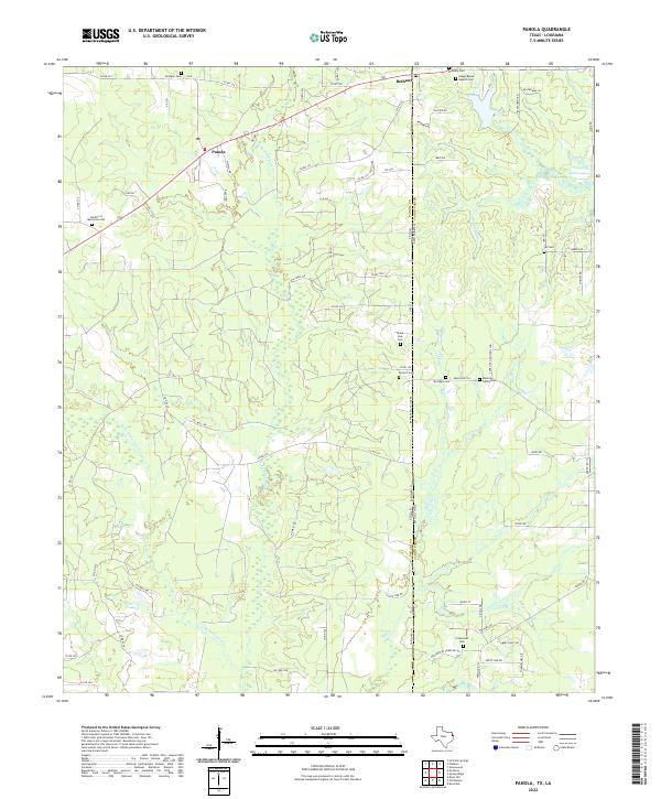
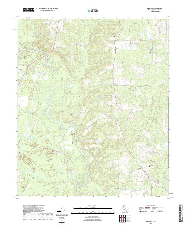
The Harrison County and Panola County line cuts across this landscape, where the settlements of Elysian Fields and De Berry anchor a network of rural roads and family cemeteries. The terrain is defined by the drainages of Tuttle Creek, Jackson Creek, and the West Fork Socagee Creek, which feed into Furrh Lake in the northeast. This 2022 survey reveals a landscape deeply tied to its lineage, with over a dozen burial grounds such as Harkrider Cemetery, Bell Fountain Cemetery, and Shady Grove Cemetery scattered throughout the piney woods and creek bottoms. The presence of Gaswell Road and several private lanes suggests the modern industrial footprint of energy extraction alongside traditional homesteads. Prominent heights like Mount Zion overlook the winding paths of Gum Slough and Mill Creek, maintaining a topographical record of East Texas before extensive development.
Find a feature on this map
75 named features on this map. Tap any name to fly to it.
Don’t see what you’re looking for? This feature index may not catch every label — zoom into the map to look around manually.
Map Details
Editions of this 2022 De Berry Map
This is the sole edition of this map. No revisions or reprints were ever made.
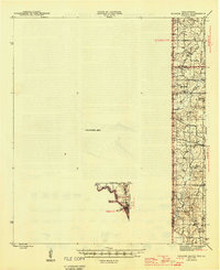
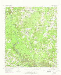
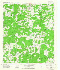
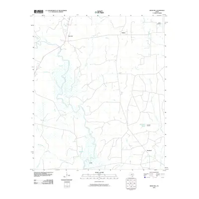
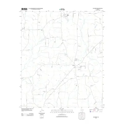
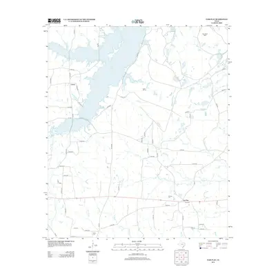
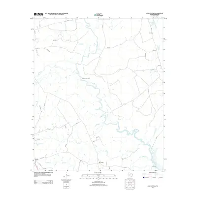
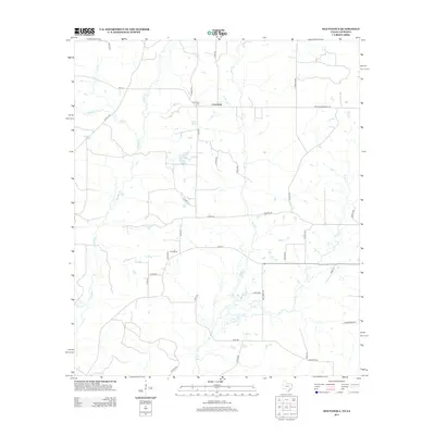
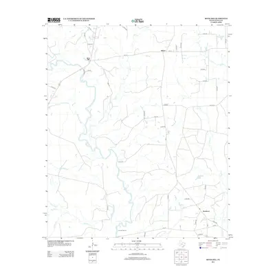
Historical Maps of Elysian Fields Through Time
73 maps found
1945 Socagee Bayou
Panola County, TX
1956 Deadwood
Panola County, TX
1962 De Berry
Panola County, TX
1962 Panola
Panola County, TX
1983 Fair Play
Panola County, TX
1983 Galloway
Panola County, TX
1983 Gary
Panola County, TX

1983 Grand Bluff
Panola County, TX
1983 Harris Chapel
Panola County, TX
1983 Lake Murvaul
Panola County, TX
1983 Long Branch
Panola County, TX
1983 Old Center
Panola County, TX
1983 Old Panola
Panola County, TX
1983 River Hill
Panola County, TX
2010 De Berry
Panola County, TX
2010 Fair Play
Panola County, TX
2010 Galloway
Panola County, TX
2010 Gary
Panola County, TX
2010 Grand Bluff
Panola County, TX
2010 Harris Chapel
Panola County, TX
2010 Lake Murvaul
Panola County, TX
2010 Long Branch
Panola County, TX
2010 Old Center
Panola County, TX
2010 Old Panola
Panola County, TX
2010 Panola
Panola County, TX
2010 River Hill
Panola County, TX
2013 De Berry
Panola County, TX
2013 Fair Play
Panola County, TX

2013 Galloway
Panola County, TX
2013 Gary
Panola County, TX
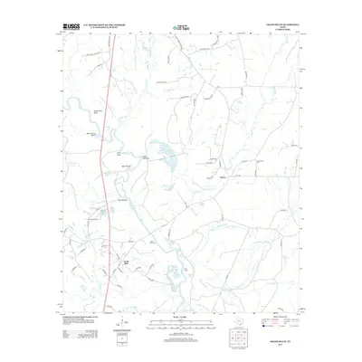
2013 Grand Bluff
Panola County, TX
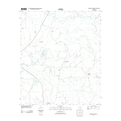
2013 Harris Chapel
Panola County, TX
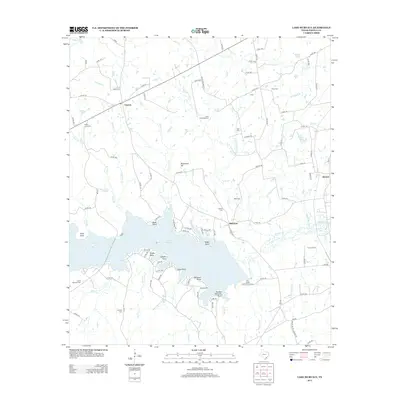
2013 Lake Murvaul
Panola County, TX
2013 Long Branch
Panola County, TX
2013 Old Center
Panola County, TX
2013 Old Panola
Panola County, TX
2013 River Hill
Panola County, TX
2016 De Berry
Panola County, TX
2016 Fair Play
Panola County, TX
2016 Galloway
Panola County, TX
2016 Gary
Panola County, TX
2016 Grand Bluff
Panola County, TX
2016 Harris Chapel
Panola County, TX
2016 Lake Murvaul
Panola County, TX
2016 Long Branch
Panola County, TX
2016 Old Center
Panola County, TX
2016 Old Panola
Panola County, TX
2016 Panola
Panola County, TX
2016 River Hill
Panola County, TX
2019 De Berry
Panola County, TX
2019 Fair Play
Panola County, TX
2019 Galloway
Panola County, TX
2019 Gary
Panola County, TX
2019 Grand Bluff
Panola County, TX
2019 Harris Chapel
Panola County, TX
2019 Lake Murvaul
Panola County, TX
2019 Long Branch
Panola County, TX
2019 Old Center
Panola County, TX
2019 Old Panola
Panola County, TX
2019 Panola
Panola County, TX
2019 River Hill
Panola County, TX
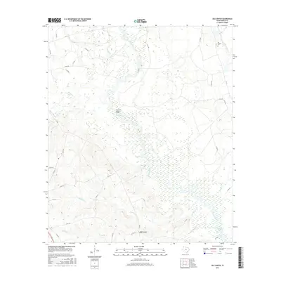
2022 De Berry
Panola County, TX
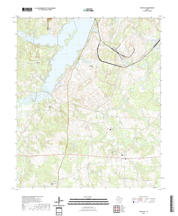
2022 Fair Play
Panola County, TX
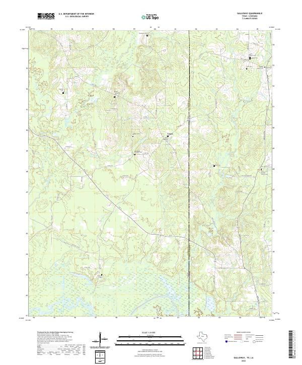
2022 Galloway
Panola County, TX
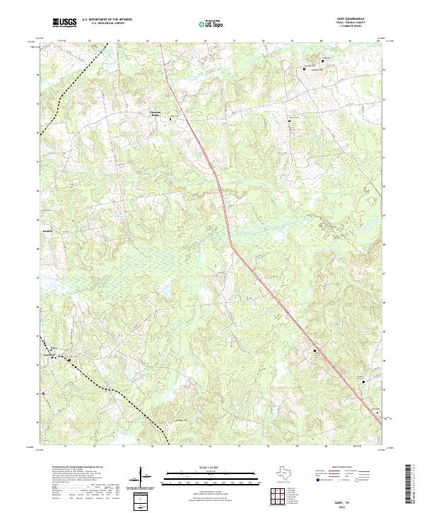
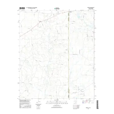
2022 Gary
Panola County, TX
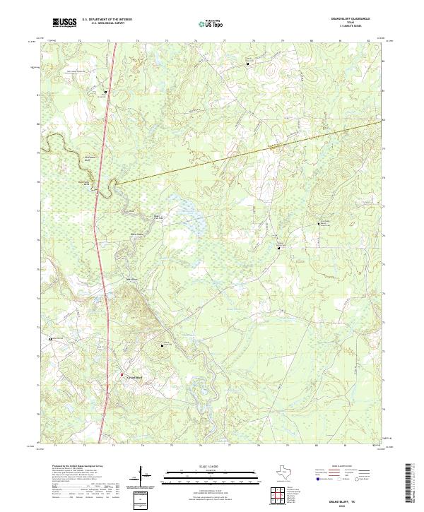
2022 Grand Bluff
Panola County, TX
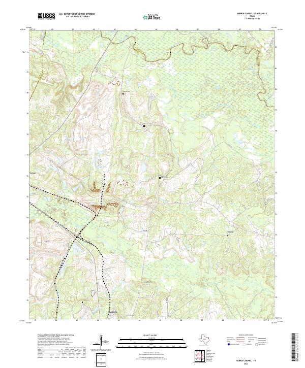
2022 Harris Chapel
Panola County, TX
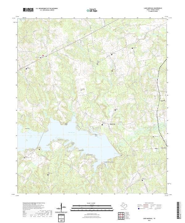
2022 Lake Murvaul
Panola County, TX
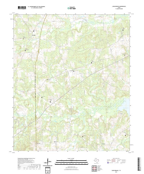
2022 Long Branch
Panola County, TX
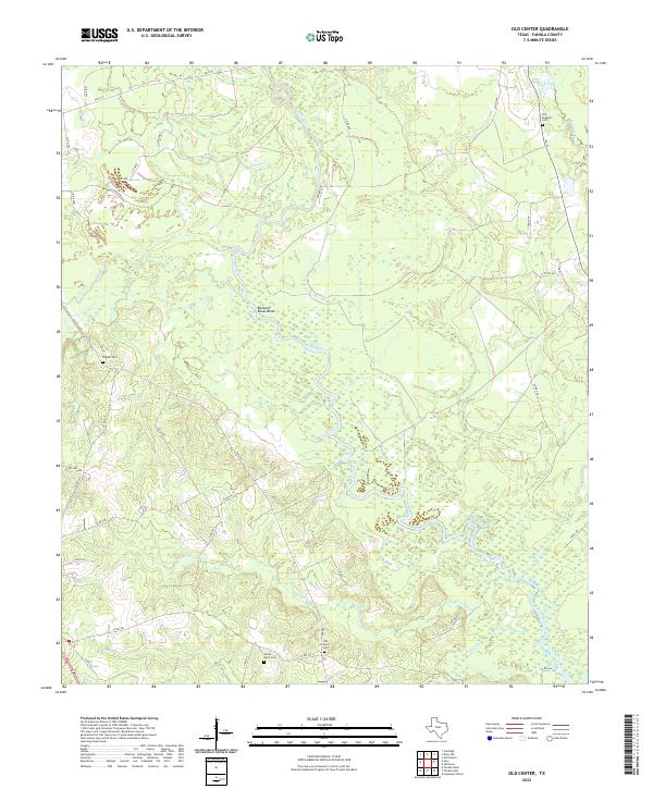
2022 Old Center
Panola County, TX
2022 Old Panola
Panola County, TX
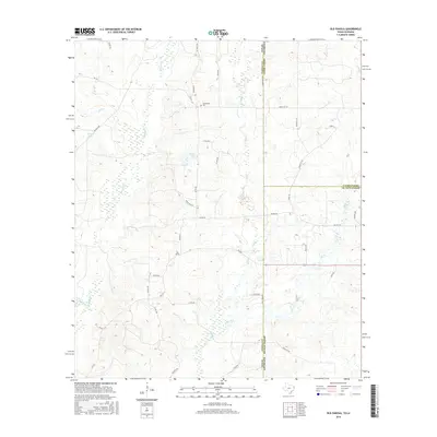
2022 Panola
Panola County, TX
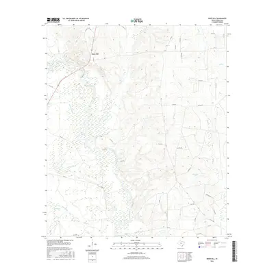
2022 River Hill
Panola County, TX