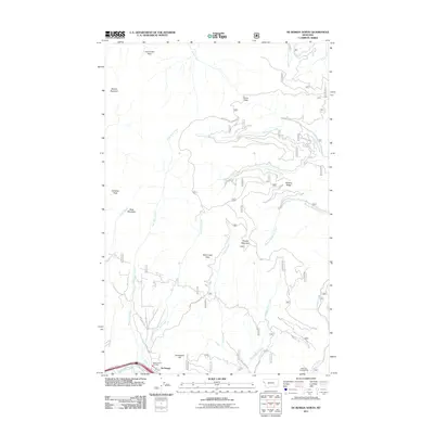
2011 Map of De Borgia North
USGS Topo · Published 2011About this map
De Borgia and its surrounding mountain terrain are documented in this 2011 survey of western Montana, where the valley floor meets the steep ascent of the Bitterroot Range. The settlement is centered near the Saint Regis River and serves as a primary access point to the remote drainages of the Lolo National Forest. The infrastructure here is shaped by the narrow corridor of the Frontage Rd W and the essential services of the West End Vol Fire Dept.
Find a feature on this map
33 named features on this map. Tap any name to fly to it.
Don’t see what you’re looking for? This feature index may not catch every label — zoom into the map to look around manually.
Map Details
Editions of this 2011 De Borgia North Map
This is the sole edition of this map. No revisions or reprints were ever made.
Other maps of this area

1918 · St Regis
USGS Topo · 1:125,000

1919 · St. Regis
USGS Topo · 1:125,000

1937 · Thompson Falls
USGS Topo · 1:125,000

1937 · Thompson Falls
USGS Topo · 1:62,500

1956 · St Regis
USGS Topo · 1:62,500

1956 · Wallace
USGS Topo · 1:250,000

1957 · Thompson Falls
USGS Topo · 1:62,500

1957 · Haugan
USGS Topo · 1:62,500

1960 · Wallace
USGS Topo · 1:250,000

1964 · Eddy Mountain
USGS Topo · 1:24,000