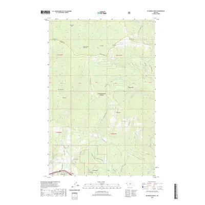
2020 Map of De Borgia North
USGS Topo · Published 2020About this map
De Borgia serves as the primary focal point in this mountainous region of Mineral County, situated just south of the sprawling Lolo National Forest. The landscape is defined by the high peaks of the Coeur d'Alene Mountains, including landmarks like Mt Bushnell and Cameron Peak. A complex network of drainages, such as Twelvemile Cr and Rock Creek, carves through the terrain, separated by significant ridgelines like the C C Divide. These geographical barriers are crossed by historical high-country routes including Joan Creek Pass and Knox Pass. The map reveals a transition from the structured forest boundaries and mountain summits to the localized settlement patterns near Henderson Hill, where private roads like Hidden Valley Private 1 and Waterhole Rd suggest modern residential expansion within the valley floor.
Find a feature on this map
47 named features on this map. Tap any name to fly to it.
Don’t see what you’re looking for? This feature index may not catch every label — zoom into the map to look around manually.
Map Details
Editions of this 2020 De Borgia North Map
This is the sole edition of this map. No revisions or reprints were ever made.
Other maps of this area

1918 · St Regis
USGS Topo · 1:125,000

1919 · St. Regis
USGS Topo · 1:125,000

1937 · Thompson Falls
USGS Topo · 1:125,000

1937 · Thompson Falls
USGS Topo · 1:62,500

1956 · St Regis
USGS Topo · 1:62,500

1956 · Wallace
USGS Topo · 1:250,000

1957 · Thompson Falls
USGS Topo · 1:62,500

1957 · Haugan
USGS Topo · 1:62,500

1960 · Wallace
USGS Topo · 1:250,000

1964 · Eddy Mountain
USGS Topo · 1:24,000