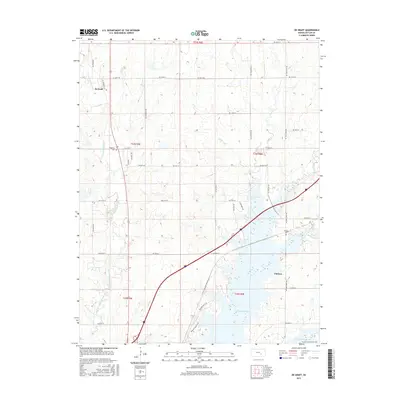
2015 Map of De Graff
USGS Topo · Published 2015About this map
Chelsea and De Graff anchor this portion of Butler County, where the plains give way to the complex hydrology of the Walnut River valley. The landscape is defined by the expansive El Dorado Lake, which has significantly altered the historic footprint of the region, submerging much of the area around the confluence of Cole Cr and the river. Despite these modern changes, the 2015 survey preserves the locations of vital genealogical landmarks such as Ridgeway Cem and Chelsea Cem, which remain as fixed points on the upland terrain.
Find a feature on this map
47 named features on this map. Tap any name to fly to it.
Don’t see what you’re looking for? This feature index may not catch every label — zoom into the map to look around manually.
Map Details
Editions of this 2015 De Graff Map
This is the sole edition of this map. No revisions or reprints were ever made.
Other maps of this area

1888 · Eldorado
USGS Topo · 1:125,000

1898 · Cottonwood Falls
USGS Topo · 1:125,000

1955 · Wichita
USGS Topo · 1:250,000

1955 · Hutchinson
USGS Topo · 1:250,000

1958 · Wichita
USGS Topo · 1:250,000

1959 · Hutchinson
USGS Topo · 1:250,000

1961 · Pontiac
USGS Topo · 1:24,000

1961 · De Graff
USGS Topo · 1:24,000

1961 · El Dorado NW
USGS Topo · 1:24,000

1961 · El Dorado
USGS Topo · 1:24,000