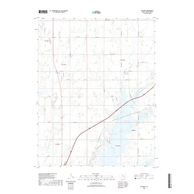
2018 Map of De Graff
USGS Topo · Published 2018About this map
De Graff and the surrounding Butler County prairie are defined by the convergence of several major watercourses, most notably the Walnut River and its West Branch. This 2018 survey reveals a landscape where modern recreation and agriculture overlay historic settlement patterns. The southern portion of the map is dominated by the broad waters of the Walnut River, where the Boulder Bluff Trail follows the rugged shoreline. Genealogy researchers will find the Ridgeway Cem situated north of De Graff, while the Chelsea Cem serves the small community of Chelsea further east near the banks of Durechen Creek. The network of section-line roads, such as De Graff Rd and NE Bluestem Rd, organizes the terrain between smaller tributaries like Cole Creek and Gilmore Br.
Find a feature on this map
47 named features on this map. Tap any name to fly to it.
Don’t see what you’re looking for? This feature index may not catch every label — zoom into the map to look around manually.
Map Details
Editions of this 2018 De Graff Map
This is the sole edition of this map. No revisions or reprints were ever made.
Other maps of this area

1888 · Eldorado
USGS Topo · 1:125,000

1898 · Cottonwood Falls
USGS Topo · 1:125,000

1955 · Wichita
USGS Topo · 1:250,000

1955 · Hutchinson
USGS Topo · 1:250,000

1958 · Wichita
USGS Topo · 1:250,000

1959 · Hutchinson
USGS Topo · 1:250,000

1961 · Pontiac
USGS Topo · 1:24,000

1961 · De Graff
USGS Topo · 1:24,000

1961 · El Dorado NW
USGS Topo · 1:24,000

1961 · El Dorado
USGS Topo · 1:24,000