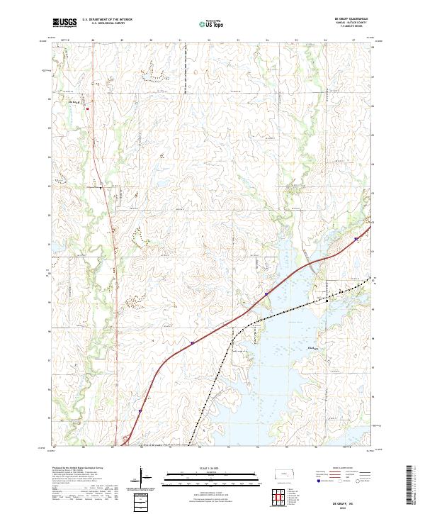
2022 Map of De Graff
USGS Topo · Published 2022About this map
De Graff and Chelsea anchor this section of the Flint Hills region, where the hydrology of the Walnut River dominates the southern landscape. The town of Chelsea is situated near the confluence of Cole Creek and the river, an area defined by wide floodplains and the modern expansion of water bodies. This 2022 survey illustrates a landscape of large-scale land management, with section lines marked by roads like NE 110th St and NW Kiowa Rd carving the upland prairies.
Find a feature on this map
44 named features on this map. Tap any name to fly to it.
Don’t see what you’re looking for? This feature index may not catch every label — zoom into the map to look around manually.
Map Details
Editions of this 2022 De Graff Map
This is the sole edition of this map. No revisions or reprints were ever made.
Other maps of this area

1888 · Eldorado
USGS Topo · 1:125,000

1898 · Cottonwood Falls
USGS Topo · 1:125,000

1955 · Wichita
USGS Topo · 1:250,000

1955 · Hutchinson
USGS Topo · 1:250,000

1958 · Wichita
USGS Topo · 1:250,000

1959 · Hutchinson
USGS Topo · 1:250,000

1961 · Pontiac
USGS Topo · 1:24,000

1961 · De Graff
USGS Topo · 1:24,000

1961 · El Dorado NW
USGS Topo · 1:24,000

1961 · El Dorado
USGS Topo · 1:24,000