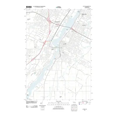
2010 Map of De Pere
USGS Topo · Published 2010About this map
The Fox River corridor dominates this 2010 study, serving as the historical and industrial spine for the communities of De Pere, Allouez, and Ashwaubenon. The river's influence is clear from the heavy concentration of infrastructure, including the De Pere Dam and landmarks such as the Wisconsin State Reformatory at Jones Point. For genealogists, the map is remarkably dense with burial grounds, including Woodlawn Cemetery, Allouez Cemetery, Mount Calvary Cemetery, Mount Olivet Cemetery, Greenwood Cemetery, and Lawrence Cemetery. Aviation history is well-represented, contrasting the modern Austin Straubel International Airport on the western edge with the Foxair Seaplane Base on the river. The south reveals a more rural character toward Little Rapids, where the East River meanders through agricultural lands and small dams like the Pouwels 3IM79802 Dam.
Find a feature on this map
73 named features on this map. Tap any name to fly to it.
Don’t see what you’re looking for? This feature index may not catch every label — zoom into the map to look around manually.
Map Details
Editions of this 2010 De Pere Map
This is the sole edition of this map. No revisions or reprints were ever made.
Other maps of this area

1954 · De Pere
USGS Topo · 1:62,500

1954 · Green Bay West
USGS Topo · 1:24,000

1954 · Denmark
USGS Topo · 1:62,500

1954 · De Pere
USGS Topo · 1:24,000

1954 · New Franken
USGS Topo · 1:62,500

1954 · Green Bay East
USGS Topo · 1:24,000

1954 · Manitowoc
USGS Topo · 1:250,000

1954 · Bellevue
USGS Topo · 1:24,000

1954 · Green Bay
USGS Topo · 1:62,500

1955 · Green Bay
USGS Topo · 1:250,000