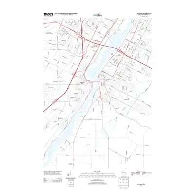
2013 Map of De Pere
USGS Topo · Published 2013About this map
The Fox River serves as the central artery for this region south of Green Bay, where industrial and institutional history meet the expanding suburban landscape. On the river's western bank, the community of West De Pere is clearly defined, situated near the Klipstine School and the recreational grounds of Minahan Stadium. The landscape is shaped by several significant waterways, including Ashwaubenon Creek and Dutchman Creek, which cut through the residential grids.
Find a feature on this map
222 named features on this map. Tap any name to fly to it.
Don’t see what you’re looking for? This feature index may not catch every label — zoom into the map to look around manually.
Map Details
Editions of this 2013 De Pere Map
This is the sole edition of this map. No revisions or reprints were ever made.
Other maps of this area

1954 · De Pere
USGS Topo · 1:62,500

1954 · Green Bay West
USGS Topo · 1:24,000

1954 · Denmark
USGS Topo · 1:62,500

1954 · De Pere
USGS Topo · 1:24,000

1954 · New Franken
USGS Topo · 1:62,500

1954 · Green Bay East
USGS Topo · 1:24,000

1954 · Manitowoc
USGS Topo · 1:250,000

1954 · Bellevue
USGS Topo · 1:24,000

1954 · Green Bay
USGS Topo · 1:62,500

1955 · Green Bay
USGS Topo · 1:250,000