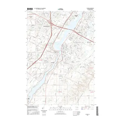
2016 Map of De Pere
USGS Topo · Published 2016About this map
The Fox River serves as the central artery for this portion of Brown County, dividing the community of De Pere into its eastern and western districts. On the west bank, the campus of Saint Norbert Coll sits near the river's edge, a historic focal point for the town of West De Pere. The landscape transition from the urban density of Green Bay and Allouez in the north toward the more open terrain near Little Rapids to the south reveals the region's suburban and industrial evolution.
Find a feature on this map
46 named features on this map. Tap any name to fly to it.
Don’t see what you’re looking for? This feature index may not catch every label — zoom into the map to look around manually.
Map Details
Editions of this 2016 De Pere Map
This is the sole edition of this map. No revisions or reprints were ever made.
Other maps of this area

1954 · De Pere
USGS Topo · 1:62,500

1954 · Green Bay West
USGS Topo · 1:24,000

1954 · Denmark
USGS Topo · 1:62,500

1954 · De Pere
USGS Topo · 1:24,000

1954 · New Franken
USGS Topo · 1:62,500

1954 · Green Bay East
USGS Topo · 1:24,000

1954 · Manitowoc
USGS Topo · 1:250,000

1954 · Bellevue
USGS Topo · 1:24,000

1954 · Green Bay
USGS Topo · 1:62,500

1955 · Green Bay
USGS Topo · 1:250,000