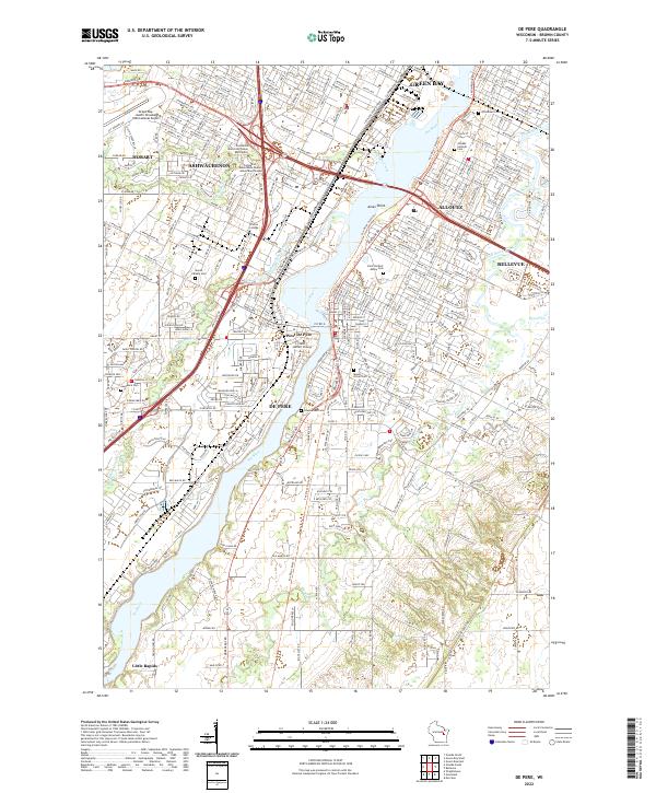
2022 Map of De Pere
USGS Topo · Published 2022About this map
The Fox River serves as the central artery for this contemporary landscape, dividing the twin cities of De Pere and West De Pere. This region is defined by a dense concentration of academic and spiritual institutions, anchored by Saint Norbert College along the riverbanks. The surrounding community of Ashwaubenon and the southern reaches of Green Bay show a mature suburban and industrial grid, punctuated by significant historic burial grounds including Saint Norbert Abbey Cem and Mount Olivet Cem. Farther south, the terrain transitions toward the settlement of Little Rapids, where the river's path dictates the local geography. Local historians will find the map particularly detailed regarding educational campuses, featuring sites like the College of Menominee Nation Green Bay Campus and Viterbo College, alongside numerous community landmarks that define the modern character of Brown County.
Find a feature on this map
333 named features on this map. Tap any name to fly to it.
Don’t see what you’re looking for? This feature index may not catch every label — zoom into the map to look around manually.
Map Details
Editions of this 2022 De Pere Map
This is the sole edition of this map. No revisions or reprints were ever made.
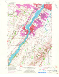
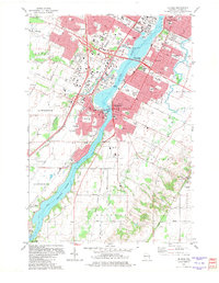
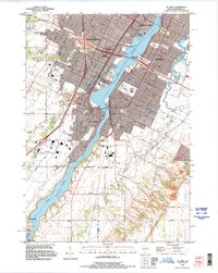
Historical Maps of Allouez Through Time
5 maps found