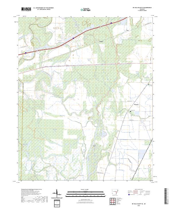
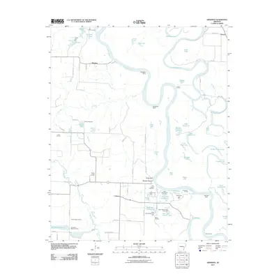
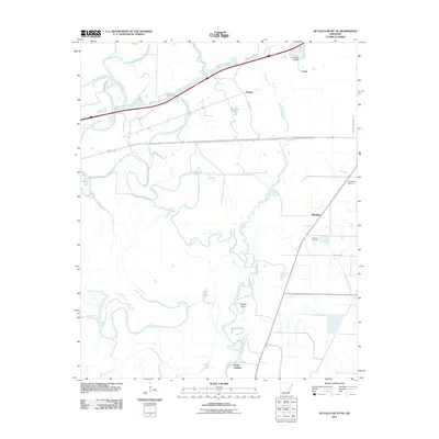
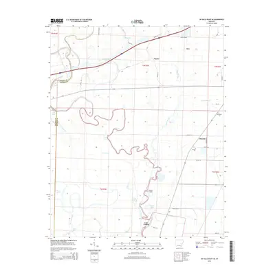
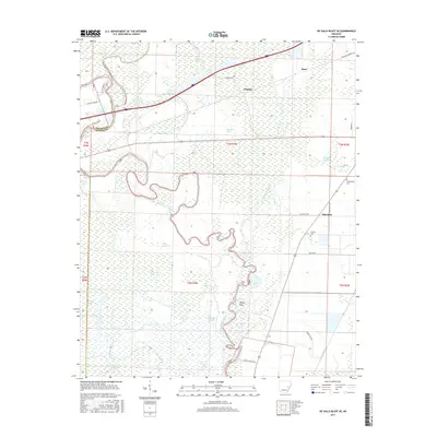
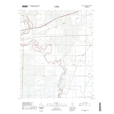
2024 Map of De Valls Bluff SE
USGS Topo · Published 2024About this map
The Cache River and its labyrinthine wetlands dominate this section of Monroe County, forming the core of the Cache River National Wildlife Refuge. This landscape is defined by its complex hydrology, where Jackson Bayou, Bayou De View, and Sevenmile Bayou thread through a mosaic of brakes and lakes. Small agricultural communities such as Eden, Dagmar, and Allendale sit on the higher ground peripheral to the river's flood-prone basin.
Find a feature on this map
45 named features on this map. Tap any name to fly to it.
Don’t see what you’re looking for? This feature index may not catch every label — zoom into the map to look around manually.
Map Details
Editions of this 2024 De Valls Bluff SE Map
This is the sole edition of this map. No revisions or reprints were ever made.
Historical Maps of Allendale Through Time
36 maps found
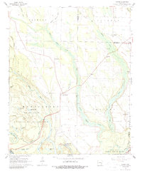
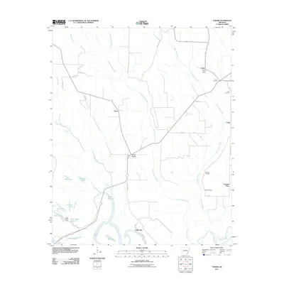
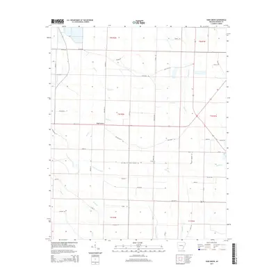
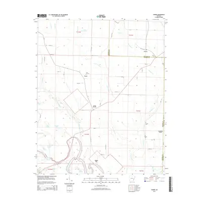
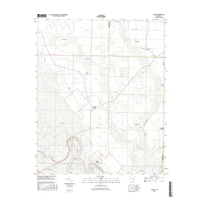
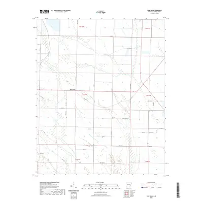
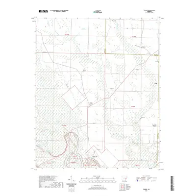
1967 Turner
Monroe County, AR
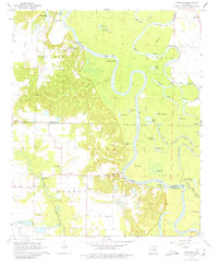
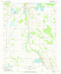
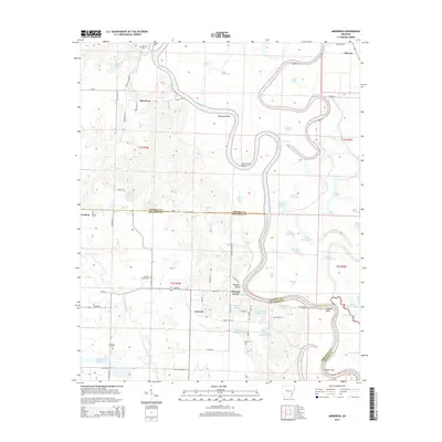
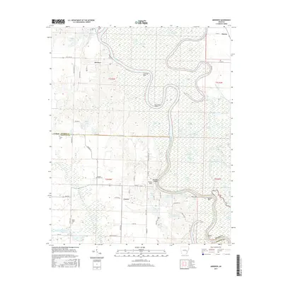
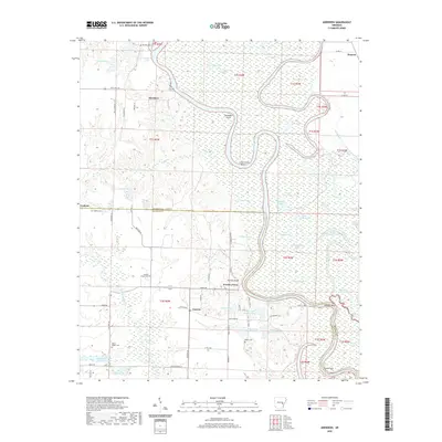
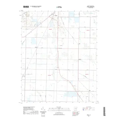
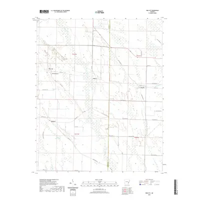
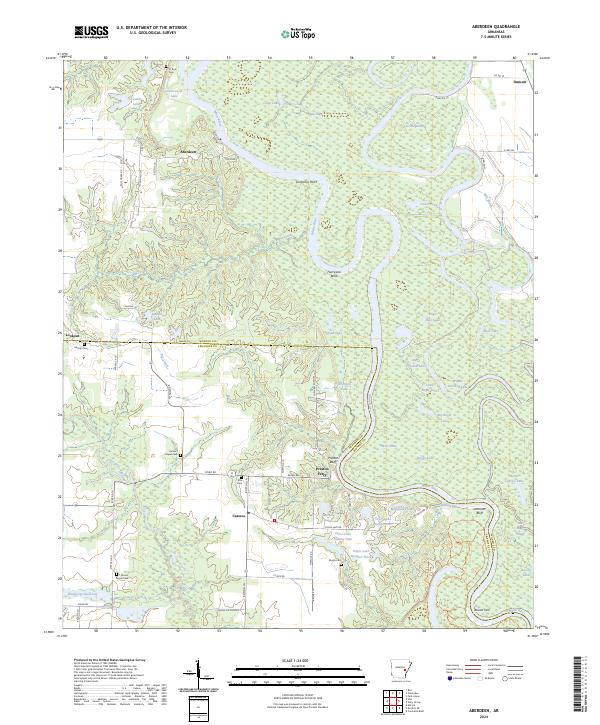
1968 Aberdeen
Monroe County, AR
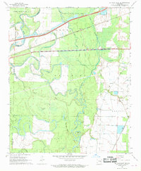
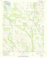
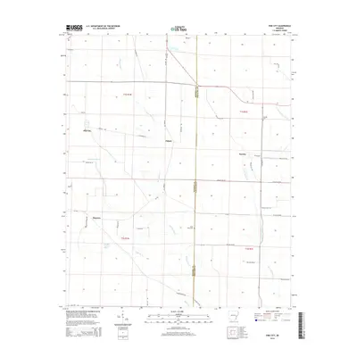
1968 De Valls Bluff SE
Monroe County, AR
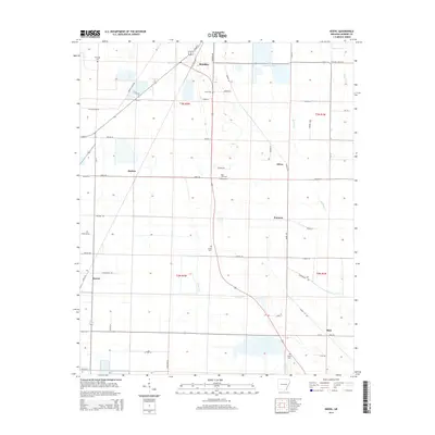
1971 Keevil
Monroe County, AR
1971 Park Grove
Monroe County, AR
1971 Pine City
Monroe County, AR
2011 Aberdeen
Monroe County, AR
2011 De Valls Bluff SE
Monroe County, AR
2011 Keevil
Monroe County, AR
2011 Park Grove
Monroe County, AR
2011 Pine City
Monroe County, AR
2011 Turner
Monroe County, AR
2014 Aberdeen
Monroe County, AR
2014 De Valls Bluff SE
Monroe County, AR
2014 Keevil
Monroe County, AR
2014 Park Grove
Monroe County, AR
2014 Pine City
Monroe County, AR
2014 Turner
Monroe County, AR
2017 Aberdeen
Monroe County, AR
2017 De Valls Bluff SE
Monroe County, AR
2017 Keevil
Monroe County, AR
2017 Park Grove
Monroe County, AR
2017 Pine City
Monroe County, AR
2017 Turner
Monroe County, AR
2020 Aberdeen
Monroe County, AR
2020 De Valls Bluff SE
Monroe County, AR
2020 Keevil
Monroe County, AR
2020 Park Grove
Monroe County, AR
2020 Pine City
Monroe County, AR
2020 Turner
Monroe County, AR
2024 Aberdeen
Monroe County, AR
2024 De Valls Bluff SE
Monroe County, AR
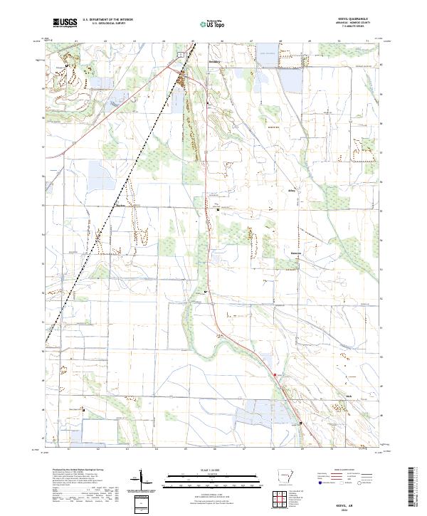
2024 Keevil
Monroe County, AR
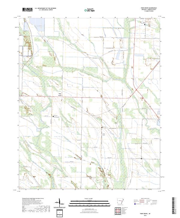
2024 Park Grove
Monroe County, AR
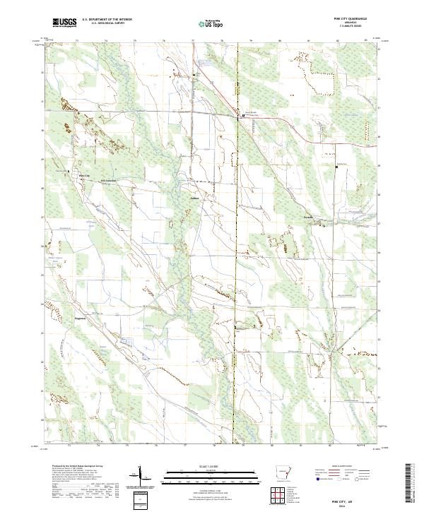
2024 Pine City
Monroe County, AR
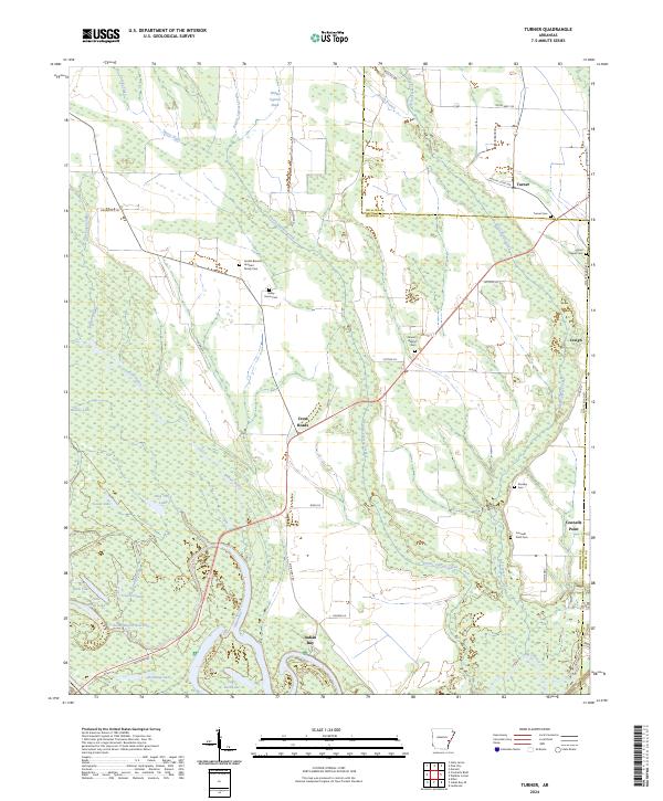
2024 Turner
Monroe County, AR