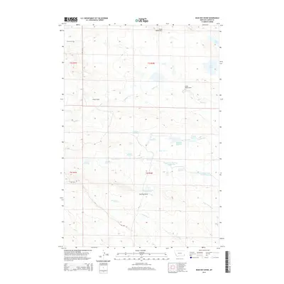
2014 Map of Dead Boy Divide
USGS Topo · Published 2014About this map
Dead Boy Divide dominates this southeastern Montana landscape, serving as a prominent topographic boundary between the drainage systems of Buffalo Cr to the north and Dead Boy Cr to the south. This 2014 survey reveals a highly managed arid environment characterized by an extensive network of small reservoirs, many named for indigenous nations including the Cheyenne Reservoir, Sioux Reservoir, Apache Reservoir, Navaho Reservoir, and Cherokee Reservoir. These water features, alongside the Lone Tree Reservoir Number One and Lone Tree Reservoir Number Two, suggest a pastoral landscape reliant on carefully captured seasonal runoff. The presence of Chalk Buttes Rd and Lone Tree Rd provides the primary transit corridors through these high plains, while landmarks like Soda Lakes and Foster Draw mark the transition between the rolling uplands and lower creek beds.
Find a feature on this map
31 named features on this map. Tap any name to fly to it.
Don’t see what you’re looking for? This feature index may not catch every label — zoom into the map to look around manually.
Map Details
Editions of this 2014 Dead Boy Divide Map
This is the sole edition of this map. No revisions or reprints were ever made.
Other maps of this area

1954 · Ekalaka
USGS Topo · 1:250,000

1956 · Ekalaka
USGS Topo · 1:250,000

1958 · Ekalaka
USGS Topo · 1:250,000

1965 · Ekalaka
USGS Topo · 1:250,000

1979 · Dutchman Creek
USGS Topo · 1:24,000

1979 · Beaver Flats South
USGS Topo · 1:24,000

1979 · Dead Boy Divide
USGS Topo · 1:24,000

1979 · Ikey Creek
USGS Topo · 1:24,000

1979 · Chalk Buttes
USGS Topo · 1:24,000

1980 · Taylor Hills
USGS Topo · 1:24,000