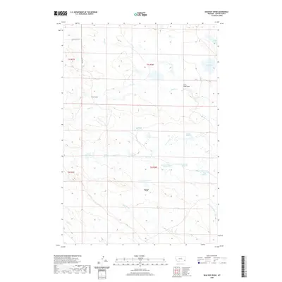
2020 Map of Dead Boy Divide
USGS Topo · Published 2020About this map
Dead Boy Divide serves as the topographic centerpiece of this Carter County landscape, marking the high ground between ephemeral drainages. The naming conventions throughout the region reflect a specific mid-to-late 20th-century water management strategy, with numerous small reservoirs bearing the names of Indigenous nations, including Apache, Navaho, Sioux, and Cheyenne. These features, along with the Gros-Ventre and Cherokee, suggest a organized system of stock water or irrigation ponds essential for ranching in this arid corner of Montana.
Find a feature on this map
26 named features on this map. Tap any name to fly to it.
Don’t see what you’re looking for? This feature index may not catch every label — zoom into the map to look around manually.
Map Details
Editions of this 2020 Dead Boy Divide Map
This is the sole edition of this map. No revisions or reprints were ever made.
Other maps of this area

1954 · Ekalaka
USGS Topo · 1:250,000

1956 · Ekalaka
USGS Topo · 1:250,000

1958 · Ekalaka
USGS Topo · 1:250,000

1965 · Ekalaka
USGS Topo · 1:250,000

1979 · Dutchman Creek
USGS Topo · 1:24,000

1979 · Beaver Flats South
USGS Topo · 1:24,000

1979 · Dead Boy Divide
USGS Topo · 1:24,000

1979 · Ikey Creek
USGS Topo · 1:24,000

1979 · Chalk Buttes
USGS Topo · 1:24,000

1980 · Taylor Hills
USGS Topo · 1:24,000