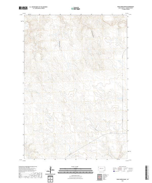
2021 Map of Dead Horse Draw
USGS Topo · Published 2021About this map
Dead Horse Draw and Chasing Hawk Draw define the drainage patterns of this South Dakota landscape, where seasonal watercourses carve through the terrain of Ziebach County. This 2021 survey by the U.S. Geological Survey shows a sparsely populated region primarily characterized by its hydrography, including Bull Cr and Johnny Cr. Transportation in the area is limited to a few key routes, most notably BIA Hwy 13 and Tankini Rd, which facilitate movement across the large township blocks of t9n r18e and t8n r18e. The map illustrates the fundamental relationship between the cattle-ranching landscape and its vital water sources, such as Moon Draw and Deer Cr, which are essential features for navigating this portion of the northern plains.
Find a feature on this map
14 named features on this map. Tap any name to fly to it.
Don’t see what you’re looking for? This feature index may not catch every label — zoom into the map to look around manually.
Map Details
Editions of this 2021 Dead Horse Draw Map
This is the sole edition of this map. No revisions or reprints were ever made.
Other maps of this area

1953 · Rapid City
USGS Topo · 1:250,000

1954 · Pierre
USGS Topo · 1:250,000

1955 · Bridger
USGS Topo · 1:24,000

1955 · Bridger SE
USGS Topo · 1:24,000

1955 · Howes
USGS Topo · 1:24,000

1957 · Rapid City
USGS Topo · 1:250,000

1958 · Pierre
USGS Topo · 1:250,000

1982 · Chasing Hawk Draw
USGS Topo · 1:24,000

1982 · Dead Horse Draw
USGS Topo · 1:24,000

1982 · Bridger NE
USGS Topo · 1:24,000