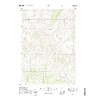
2017 Map of Dead Indian Peak
USGS Topo · Published 2017About this map
Shoshone National Forest contains the high-elevation terrain of the Absaroka Range, where drainage patterns define the wilderness character of the region. This 2017 study illustrates a network of backcountry routes, including the Trout Peak Trail and Big Cr Trail, which navigate the steep elevations between Dead Indian Peak and Trout Peak. The area is marked by significant topographical features such as the precipice known as The Wall and the dramatic Big Creek Falls. Waterways like Dead Indian Cr and Trout Cr carve through the landscape, illustrating the natural water management systems of this protected forest land before they reach the lower valleys of Park County.
Find a feature on this map
21 named features on this map. Tap any name to fly to it.
Don’t see what you’re looking for? This feature index may not catch every label — zoom into the map to look around manually.
Map Details
Editions of this 2017 Dead Indian Peak Map
This is the sole edition of this map. No revisions or reprints were ever made.
Other maps of this area

1893 · Ishawooa
USGS Topo · 1:125,000

1895 · Ishawooa
USGS Topo · 1:125,000

1896 · Crandall Creek
USGS Topo · 1:125,000

1899 · Crandall
USGS Topo · 1:125,000

1899 · Ishawooa
USGS Topo · 1:125,000

1949 · Pat O'Hara Mountain
USGS Topo · 1:62,500

1955 · Cody
USGS Topo · 1:250,000

1956 · Dead Indian Peak
USGS Topo · 1:62,500

1957 · Wapiti
USGS Topo · 1:62,500

1958 · Cody
USGS Topo · 1:250,000