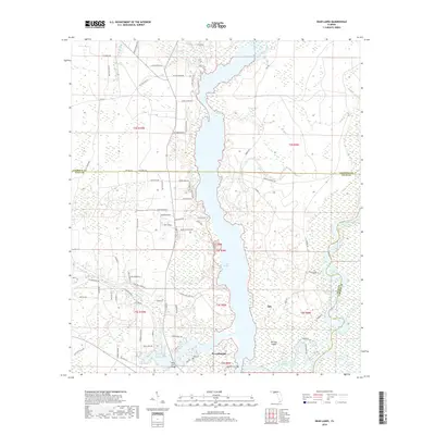
2018 Map of Dead Lakes
USGS Topo · Published 2018About this map
Wewahitchka sits at the southern edge of a complex wetland ecosystem where the Chipola River meets the expansive Dead Lakes. This 2018 survey reveals a landscape dominated by water and swamp, characterized by numerous islands like McCabe Island and Chipola Cutoff Island. The hydrological pattern is intricate, showing the Chipola Cutoff and the W Arm of Dead Lakes winding through the terrain. Evidence of local history and community life is visible in the placement of the Jehu Cem and the West Arm Bridge, which provides a critical connection across the western reaches of the water.
Find a feature on this map
89 named features on this map. Tap any name to fly to it.
Don’t see what you’re looking for? This feature index may not catch every label — zoom into the map to look around manually.
Map Details
Editions of this 2018 Dead Lakes Map
This is the sole edition of this map. No revisions or reprints were ever made.
Other maps of this area

1945 · Dead Lake
USGS Topo · 1:31,680

1945 · Kennedy Creek
USGS Topo · 1:31,680

1945 · Broad Branch
USGS Topo · 1:31,680

1945 · Estiffanulga
USGS Topo · 1:31,680

1945 · Orange
USGS Topo · 1:31,680

1945 · Frink
USGS Topo · 1:31,680

1945 · Wewahitchka
USGS Topo · 1:31,680

1945 · Wetappo Creek
USGS Topo · 1:31,680

1945 · Tenmile Swamp
USGS Topo · 1:31,680

1954 · Tallahassee
USGS Topo · 1:250,000