
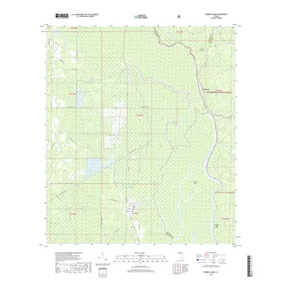
2024 Map of Dead Lakes
USGS Topo · Published 2024About this map
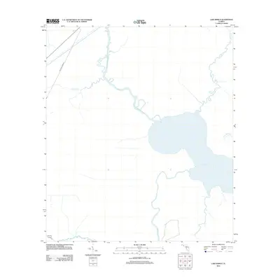
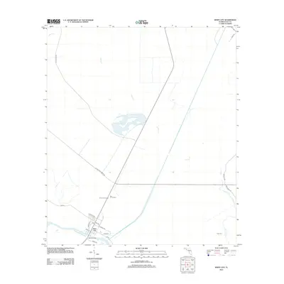
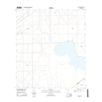
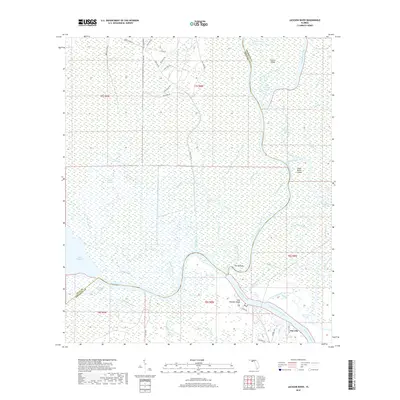
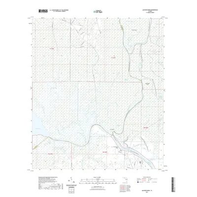
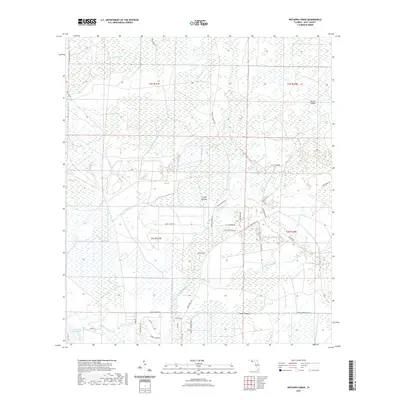
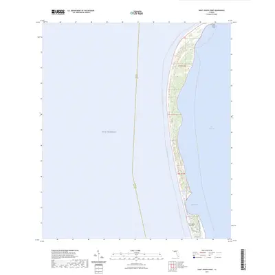
Dead Lakes dominates the central corridor of this Gulf County survey, creating a sprawling aquatic landscape between the settlements of Wewahitchka and Iola. The map documents a complex riverine environment where the Apalachicola River meanders along the eastern boundary, intersected by the Chipola Cutoff and numerous smaller water bodies like Iola Lake and Kentucky Lake. This network of waterways creates distinct landforms such as McCabe Island and Cutoff Island, which highlight the shifting nature of the local drainage systems.
Find a feature on this map
91 named features on this map. Tap any name to fly to it.
Don’t see what you’re looking for? This feature index may not catch every label — zoom into the map to look around manually.
Map Details
Editions of this 2024 Dead Lakes Map
This is the sole edition of this map. No revisions or reprints were ever made.
Historical Maps of Wewahitchka Through Time
92 maps found

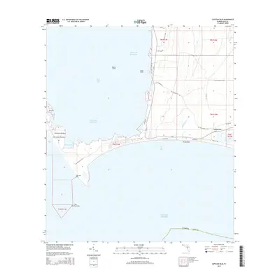
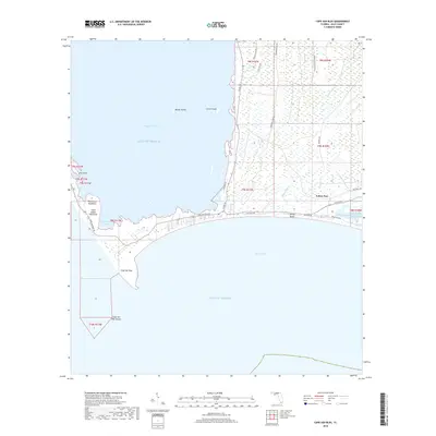
1943 Cape San Blas
Gulf County, FL

1943 Jackson River
Gulf County, FL

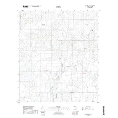
1943 Overstreet
Gulf County, FL

1943 St. Joseph Spit
Gulf County, FL

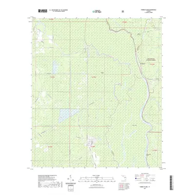
1944 Forbes Island
Gulf County, FL

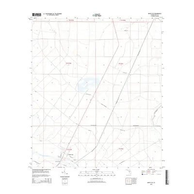
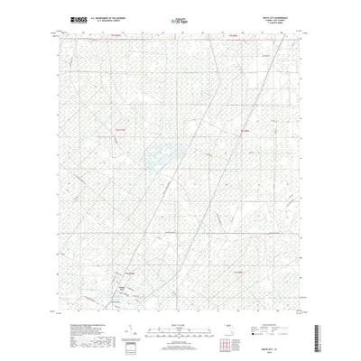
1944 White City
Gulf County, FL

1945 Dead Lake
Gulf County, FL

1945 Forbes Island
Gulf County, FL

1945 Jackson River
Gulf County, FL

1945 Lake Wimico
Gulf County, FL

1945 St. Joseph Point
Gulf County, FL

1945 Tenmile Swamp
Gulf County, FL

1945 Wetappo Creek
Gulf County, FL

1945 White City
Gulf County, FL

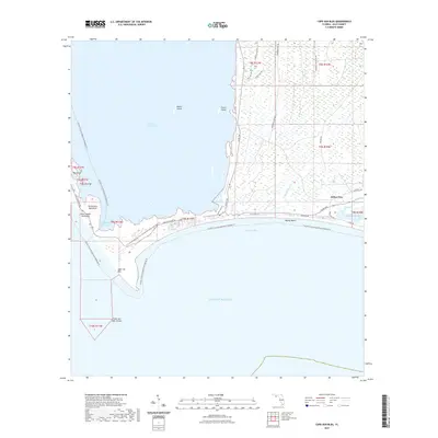
1978 Port Saint Joe
Gulf County, FL

1982 Cape San Blas
Gulf County, FL

1982 Forbes Island
Gulf County, FL

1982 Jackson River
Gulf County, FL

1982 Lake Wimico
Gulf County, FL

1982 Overstreet
Gulf County, FL

1982 St. Joseph Peninsula
Gulf County, FL

1982 St Joseph Point
Gulf County, FL

1982 Tenmile Swamp
Gulf County, FL

1982 Wetappo Creek
Gulf County, FL

1982 White City
Gulf County, FL

1990 Dead Lakes
Gulf County, FL

1994 Wetappo Creek
Gulf County, FL
2012 Cape San Blas
Gulf County, FL

2012 Dead Lakes
Gulf County, FL
2012 Forbes Island
Gulf County, FL
2012 Jackson River
Gulf County, FL
2012 Lake Wimico
Gulf County, FL

2012 Overstreet
Gulf County, FL

2012 Port Saint Joe
Gulf County, FL
2012 Saint Joseph Peninsula
Gulf County, FL
2012 Saint Joseph Point
Gulf County, FL
2012 Tenmile Swamp
Gulf County, FL
2012 Wetappo Creek
Gulf County, FL
2012 White City
Gulf County, FL
2015 Cape San Blas
Gulf County, FL

2015 Dead Lakes
Gulf County, FL
2015 Forbes Island
Gulf County, FL
2015 Jackson River
Gulf County, FL
2015 Lake Wimico
Gulf County, FL

2015 Overstreet
Gulf County, FL

2015 Port Saint Joe
Gulf County, FL
2015 Saint Joseph Peninsula
Gulf County, FL
2015 Saint Joseph Point
Gulf County, FL
2015 Tenmile Swamp
Gulf County, FL
2015 Wetappo Creek
Gulf County, FL
2015 White City
Gulf County, FL
2018 Cape San Blas
Gulf County, FL

2018 Dead Lakes
Gulf County, FL
2018 Forbes Island
Gulf County, FL
2018 Jackson River
Gulf County, FL
2018 Lake Wimico
Gulf County, FL

2018 Overstreet
Gulf County, FL

2018 Port Saint Joe
Gulf County, FL

2018 Saint Joseph Peninsula
Gulf County, FL
2018 Saint Joseph Point
Gulf County, FL
2018 Tenmile Swamp
Gulf County, FL
2018 Wetappo Creek
Gulf County, FL
2018 White City
Gulf County, FL
2021 Cape San Blas
Gulf County, FL

2021 Dead Lakes
Gulf County, FL
2021 Forbes Island
Gulf County, FL
2021 Jackson River
Gulf County, FL
2021 Lake Wimico
Gulf County, FL

2021 Overstreet
Gulf County, FL

2021 Port Saint Joe
Gulf County, FL
2021 Saint Joseph Peninsula
Gulf County, FL
2021 Saint Joseph Point
Gulf County, FL

2021 Tenmile Swamp
Gulf County, FL
2021 Wetappo Creek
Gulf County, FL
2021 White City
Gulf County, FL
2024 Cape San Blas
Gulf County, FL
2024 Dead Lakes
Gulf County, FL

2024 Forbes Island
Gulf County, FL

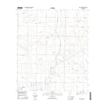
2024 Jackson River
Gulf County, FL

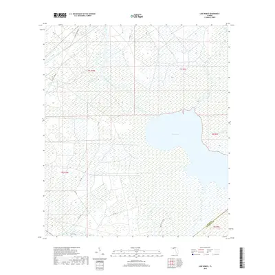
2024 Lake Wimico
Gulf County, FL

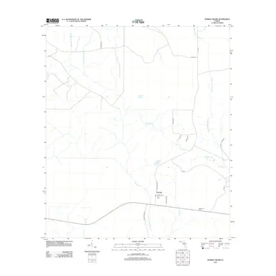
2024 Overstreet
Gulf County, FL

2024 Port Saint Joe
Gulf County, FL
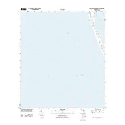
2024 Saint Joseph Peninsula
Gulf County, FL
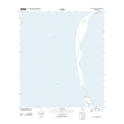
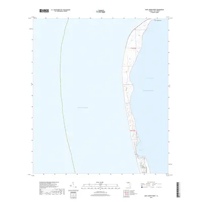
2024 Saint Joseph Point
Gulf County, FL

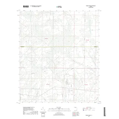
2024 Tenmile Swamp
Gulf County, FL

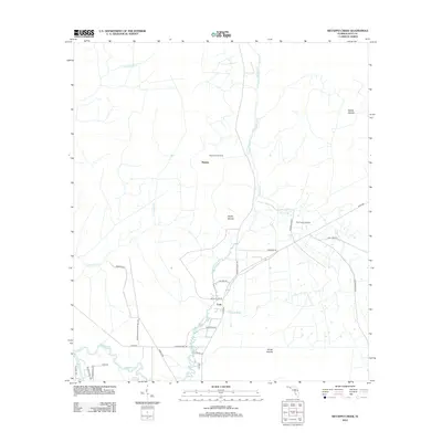
2024 Wetappo Creek
Gulf County, FL

2024 White City
Gulf County, FL

2025 Cape San Blas
Gulf County, FL

2025 Overstreet
Gulf County, FL

2025 Port Saint Joe
Gulf County, FL

2025 Saint Joseph Peninsula
Gulf County, FL

2025 Saint Joseph Point
Gulf County, FL