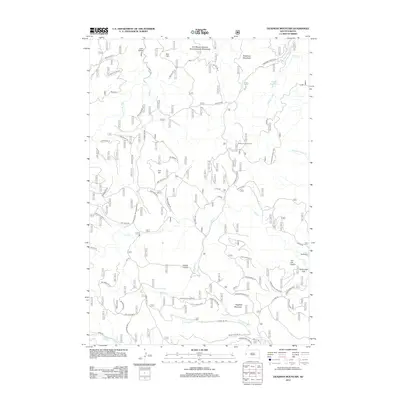
2012 Map of Deadman Mountain
USGS Topo · Published 2012About this map
The Fort Meade Veterans Administration Watershed dominates the northern reaches of this Meade County landscape, underscoring the long-standing federal presence in the Black Hills region. As seen in this 2012 survey, the terrain is defined by a series of prominent peaks including Deadman Mountain, Flagstaff Mountain, and Kirk Hill. These heights are partitioned by a complex network of forest access roads such as Galena Rd and Elk Creek Rd, which provide passage to the small community of Bethlehem and the secluded waters of the Sturgis Reservoirs. The map captures a transition between managed watershed lands and the recreation-oriented paths of the Centennial Trail. Notable landmarks like the Veteran Lookout Tower and named features like Virkula Gulch offer points of interest for those studying the land use patterns and topographic character of the area south of Sturgis.
Find a feature on this map
69 named features on this map. Tap any name to fly to it.
Don’t see what you’re looking for? This feature index may not catch every label — zoom into the map to look around manually.
Map Details
Editions of this 2012 Deadman Mountain Map
This is the sole edition of this map. No revisions or reprints were ever made.
Other maps of this area

1893 · Rapid
USGS Topo · 1:125,000

1894 · Deadwood
USGS Topo · 1:125,000

1898 · Rapid
USGS Topo · 1:125,000

1899 · Sturgis
USGS Topo · 1:62,500

1901 · Deadwood
USGS Topo · 1:125,000

1903 · Rapid
USGS Topo · 1:125,000

1915 · Sturgis
USGS Topo · 1:62,500

1916 · Deadwood
USGS Topo · 1:125,000

1953 · Piedmont
USGS Topo · 1:24,000
1953 · Fort Meade
USGS Topo · 1:24,000