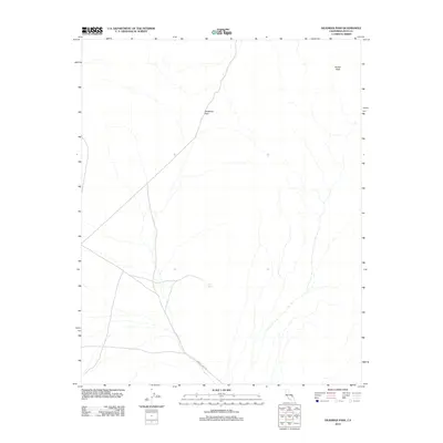
2012 Map of Deadman Pass
USGS Topo · Published 2012About this map
Deadman Pass serves as a central landmark in this high-desert portion of Inyo County, defining the local topography between the northern peaks and the southern drainage patterns. The landscape is marked by the presence of Miller Spring, a critical water source in an arid environment, and the prominence of Brown Peak to the northeast. Transportation through this remote terrain is anchored by the winding path of Furnace Creek Rd, which cuts across the southern half of the quadrangle. This 2012 survey illustrates the sparse but vital network of primitive roads and natural landmarks that have historically guided travelers through this rugged section of California.
Find a feature on this map
4 named features on this map. Tap any name to fly to it.
Don’t see what you’re looking for? This feature index may not catch every label — zoom into the map to look around manually.
Map Details
Editions of this 2012 Deadman Pass Map
This is the sole edition of this map. No revisions or reprints were ever made.
Other maps of this area

1908 · Furnace Creek
USGS Topo · 1:250,000

1910 · Furnace Creek
USGS Topo · 1:250,000

1933 · Avawatz Mountains
USGS Topo · 1:250,000

1940 · Eagle Tank
USGS Topo · 1:62,500

1947 · Trona
USGS Topo · 1:250,000

1948 · Trona
USGS Topo · 1:250,000

1948 · Death Valley
USGS Topo · 1:250,000

1950 · Confidence Hills
USGS Topo · 1:62,500

1951 · Funeral Peak
USGS Topo · 1:62,500

1951 · Eagle Mtn
USGS Topo · 1:62,500