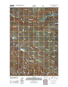
2011 Map of Deadman Point
USGS Topo · Published 2011About this map
Imnaha River drainage and the high-elevation water management systems of Baker County define this 2011 survey. The map details an intricate network of early 21st-century irrigation and water storage, notably featuring the Buchanan Ditch, Greener Ditch, and Huff Ditch which lace across the terrain to redirect flow from the surrounding peaks. These systems support the region alongside established infrastructure like the Fish Lake Dam and Sugarloaf Dam. The geography is marked by significant landmarks such as the Imnaha Divide and Deadman Point, while Indian Crossing indicates a long-standing point of transit over the river. From the depths of Deadman Canyon to the heights of Russel Mountain, the map documents a landscape where natural water features like Warm Lake and Lake Frances coexist with engineered reservoirs to sustain the local environment.
Find a feature on this map
38 named features on this map. Tap any name to fly to it.
Don’t see what you’re looking for? This feature index may not catch every label — zoom into the map to look around manually.
Map Details
Editions of this 2011 Deadman Point Map
This is the sole edition of this map. No revisions or reprints were ever made.
Other maps of this area

1915 · Pine
USGS Topo · 1:125,000

1954 · Cornucopia
USGS Topo · 1:62,500

1955 · Baker
USGS Topo · 1:250,000

1955 · Grangeville
USGS Topo · 1:250,000

1957 · Halfway
USGS Topo · 1:62,500

1957 · Homestead
USGS Topo · 1:62,500

1957 · Copperfield
USGS Topo · 1:62,500

1959 · Baker
USGS Topo · 1:250,000

1959 · Grangeville
USGS Topo · 1:250,000

1980 · McCall
USGS Topo · 1:100,000