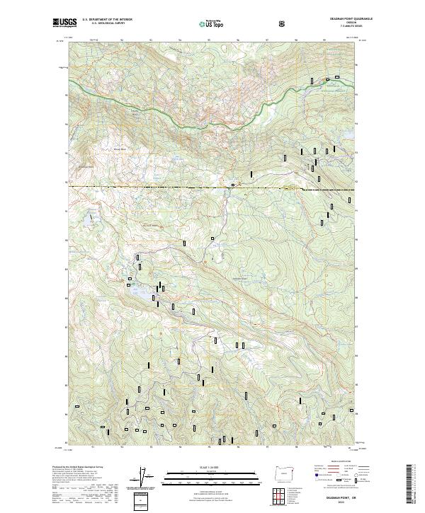
2023 Map of Deadman Point
USGS Topo · Published 2023About this map
The Imnaha River and its South Fork Imnaha River carve through this high-elevation landscape, defining the northern reaches of the Eagle-Cap Wilderness. This environment is characterized by the complex water management infrastructure of the Greehen Ditch, Buchanan Ditch, and Huff Ditch, which trace the contours of the slopes to redirect alpine runoff.
Find a feature on this map
71 named features on this map. Tap any name to fly to it.
Don’t see what you’re looking for? This feature index may not catch every label — zoom into the map to look around manually.
Map Details
Editions of this 2023 Deadman Point Map
This is the sole edition of this map. No revisions or reprints were ever made.
Other maps of this area

1915 · Pine
USGS Topo · 1:125,000

1954 · Cornucopia
USGS Topo · 1:62,500

1955 · Baker
USGS Topo · 1:250,000

1955 · Grangeville
USGS Topo · 1:250,000

1957 · Halfway
USGS Topo · 1:62,500

1957 · Homestead
USGS Topo · 1:62,500

1957 · Copperfield
USGS Topo · 1:62,500

1959 · Baker
USGS Topo · 1:250,000

1959 · Grangeville
USGS Topo · 1:250,000

1980 · McCall
USGS Topo · 1:100,000