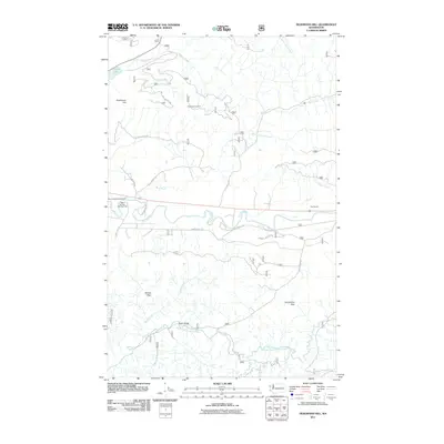
2011 Map of Deadmans Hill
USGS Topo · Published 2011About this map
Evergreen Lookout stands as a sentinel over this mountainous Olympic Peninsula terrain, where the headwaters of numerous creeks begin their descent toward the Pacific. The landscape is defined by the winding course of the Sol Duc River, which serves as a central corridor for local activity, including the Bear Creek Campground and the Bear Springs Rearing Pond. Industrial and recreational footprints are evident, from the Floe Quarry near the eastern edge to the passage through Schutz Pass and Grindstone Pass.
Find a feature on this map
29 named features on this map. Tap any name to fly to it.
Don’t see what you’re looking for? This feature index may not catch every label — zoom into the map to look around manually.
Map Details
Editions of this 2011 Deadmans Hill Map
This is the sole edition of this map. No revisions or reprints were ever made.
Other maps of this area

1922 · Pysht
USGS Topo · 1:62,500

1935 · Lake Pleasant
USGS Topo · 1:62,500

1939 · Forks
USGS Topo · 1:62,500

1942 · Pysht
USGS Topo · 1:62,500

1942 · Lake Pleasant
USGS Topo · 1:62,500

1943 · Spruce Mountain
USGS Topo · 1:62,500

1943 · Copalis Beach
USGS Topo · 1:250,000

1951 · Copalis Beach
USGS Topo · 1:250,000

1953 · Cape Flattery
USGS Topo · 1:250,000

1956 · Spruce Mtn.
USGS Topo · 1:62,500