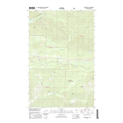
2017 Map of Deadmans Hill
USGS Topo · Published 2017About this map
Deadmans Hill stands as a prominent landmark in this 2017 survey of Clallam County, where the northern reaches of the Olympic National Forest meet a complex network of forest development roads and logging infrastructure. The landscape is defined by its dramatic drainage systems, specifically where the Sol Duc River cuts through the central valley and the North Fork Calawah River winds across the southern section. High-elevation passes like Schutz Pass and Grindstone Pass provide critical transit points through the Olympic Mountains. A mixture of private and public land management is evident in the numerous numbered blocks like PB 38 and PB 47. Significant river crossings, such as the Balch Bridge, and local access routes like Cooper Ranch Rd and Conkey Smith Loop highlight the area's continued reliance on the river valleys for transportation and resource management.
Find a feature on this map
61 named features on this map. Tap any name to fly to it.
Don’t see what you’re looking for? This feature index may not catch every label — zoom into the map to look around manually.
Map Details
Editions of this 2017 Deadmans Hill Map
This is the sole edition of this map. No revisions or reprints were ever made.
Other maps of this area

1922 · Pysht
USGS Topo · 1:62,500

1935 · Lake Pleasant
USGS Topo · 1:62,500

1939 · Forks
USGS Topo · 1:62,500

1942 · Pysht
USGS Topo · 1:62,500

1942 · Lake Pleasant
USGS Topo · 1:62,500

1943 · Spruce Mountain
USGS Topo · 1:62,500

1943 · Copalis Beach
USGS Topo · 1:250,000

1951 · Copalis Beach
USGS Topo · 1:250,000

1953 · Cape Flattery
USGS Topo · 1:250,000

1956 · Spruce Mtn.
USGS Topo · 1:62,500