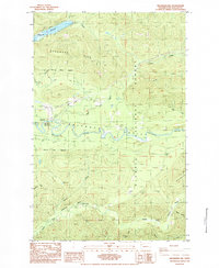
1984 Map of Deadmans Hill
USGS Topo · Published 1984About this map
Soleduck River and the North Fork Calawah River define the drainage of this Olympic Peninsula landscape, where industrial logging and conservation interests intersect. The presence of the Old R.R. Grade winding through the timber north of the Soleduck River points to the area's history of rail-based timber extraction, a legacy that remains visible in the terrain even as the tracks themselves were removed. Within the Olympic National Forest, recreational and resource management sites like the Bear Creek Campground and the Bear Springs Rearing Pond reflect a mid-century shift toward multi-use land management.
Find a feature on this map
28 named features on this map. Tap any name to fly to it.
Don’t see what you’re looking for? This feature index may not catch every label — zoom into the map to look around manually.
Map Details
Editions of this 1984 Deadmans Hill Map
2 editions found
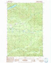
Other maps of this area

1922 · Pysht
USGS Topo · 1:62,500

1935 · Lake Pleasant
USGS Topo · 1:62,500

1939 · Forks
USGS Topo · 1:62,500

1942 · Pysht
USGS Topo · 1:62,500

1942 · Lake Pleasant
USGS Topo · 1:62,500

1943 · Spruce Mountain
USGS Topo · 1:62,500

1943 · Copalis Beach
USGS Topo · 1:250,000

1951 · Copalis Beach
USGS Topo · 1:250,000

1953 · Cape Flattery
USGS Topo · 1:250,000

1956 · Spruce Mtn.
USGS Topo · 1:62,500