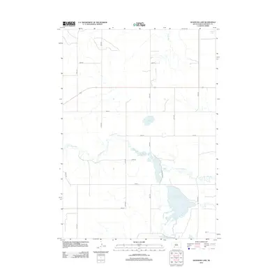
2012 Map of Deadmans Lake
USGS Topo · Published 2012About this map
The Little White River meanders across this landscape of Bennett County, South Dakota, defining a complex drainage system that includes the expansive Little White River Pool Reservoir. This water-rich geography is a central characteristic of the region, featuring several isolated bodies of water such as Deadmans Lake and White Lake in the north. The terrain is marked by a grid of rural section roads, including Pheasant Rd Ln and Refuge Rd, which navigate around the wetlands and tributaries like Spring Cr and Lake Cr. This map documents a sparsely populated but ecologically significant area, where the river's path creates a distinct pattern of winding curves against the geometric lines of agricultural and grazing lands, providing a clear view of the hydraulic engineering and natural hydrology near Martin in the early 21st century.
Find a feature on this map
22 named features on this map. Tap any name to fly to it.
Don’t see what you’re looking for? This feature index may not catch every label — zoom into the map to look around manually.
Map Details
Editions of this 2012 Deadmans Lake Map
This is the sole edition of this map. No revisions or reprints were ever made.
Other maps of this area

1955 · Martin
USGS Topo · 1:250,000

1958 · Martin
USGS Topo · 1:250,000

1981 · Patricia
USGS Topo · 1:25,000

1981 · Phantom Lake
USGS Topo · 1:25,000

1981 · Martin
USGS Topo · 1:25,000

1981 · Blackpipe
USGS Topo · 1:25,000

1981 · Scotchman Lake
USGS Topo · 1:25,000

1981 · Tuthill
USGS Topo · 1:25,000

1983 · Martin
USGS Topo · 1:100,000
2012 · Scotchman Lake
USGS Topo · 1:24,000