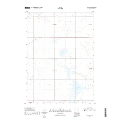
2017 Map of Deadmans Lake
USGS Topo · Published 2017About this map
Little White River meanders across the center of this South Dakota landscape, defining a network of wetlands and hydrologic features in Bennett County. The waterway flows eastward, eventually collecting in the Little White River Pool Reservoir, a significant water body in the southeastern portion of the quadrangle. This area is characterized by its drainage patterns, where Spring Cr and Lake Creek feed into the primary river system.
Find a feature on this map
13 named features on this map. Tap any name to fly to it.
Don’t see what you’re looking for? This feature index may not catch every label — zoom into the map to look around manually.
Map Details
Editions of this 2017 Deadmans Lake Map
This is the sole edition of this map. No revisions or reprints were ever made.
Other maps of this area

1955 · Martin
USGS Topo · 1:250,000

1958 · Martin
USGS Topo · 1:250,000

1981 · Patricia
USGS Topo · 1:25,000

1981 · Phantom Lake
USGS Topo · 1:25,000

1981 · Martin
USGS Topo · 1:25,000

1981 · Blackpipe
USGS Topo · 1:25,000

1981 · Scotchman Lake
USGS Topo · 1:25,000

1981 · Tuthill
USGS Topo · 1:25,000

1983 · Martin
USGS Topo · 1:100,000
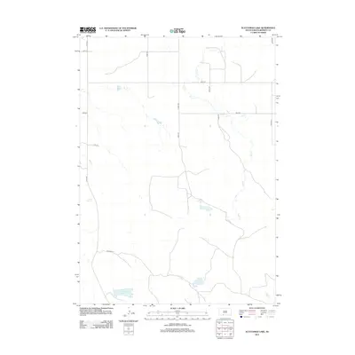
2012 · Scotchman Lake
USGS Topo · 1:24,000