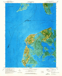
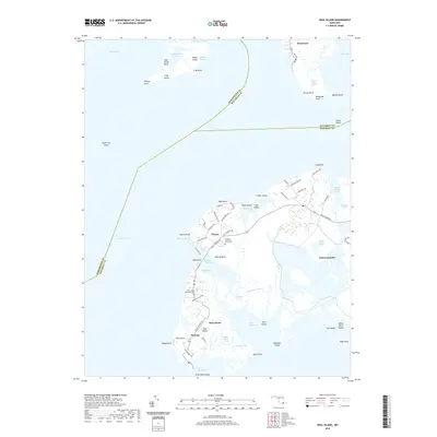
1972 Map of Deal Island
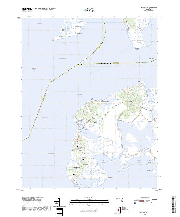
USGS Topo · Published 1974About this map
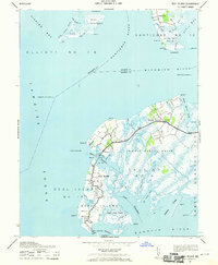
Deal Island and its surrounding marshlands dominate this 1972 orthophotomap, where the interface of land and the Chesapeake's eastern waters is meticulously documented. The settlement pattern follows the narrow ridges of higher ground, with clusters of activity at Wenona, Chance, and Dames Quarter. These communities are defined by their reliance on the water, situated between the Tangier Sound and the Nanticoke River. Genealogists will find a wealth of local landmarks, including St Pauls Ch, John Wesley Ch, and several small cemeteries scattered across the peninsula.
Find a feature on this map
74 named features on this map. Tap any name to fly to it.
Don’t see what you’re looking for? This feature index may not catch every label — zoom into the map to look around manually.
Map Details
Editions of this 1972 Deal Island Map
2 editions found
Historical Maps of Waterview Through Time
9 maps found
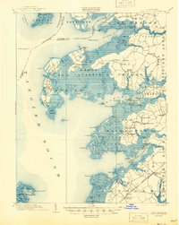
1903 Deal Island
Somerset County, MD
1942 Deal Island
Somerset County, MD
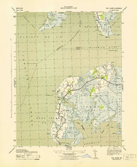
1943 Deal Island
Somerset County, MD
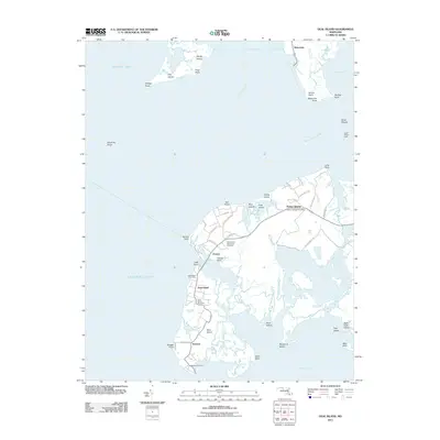
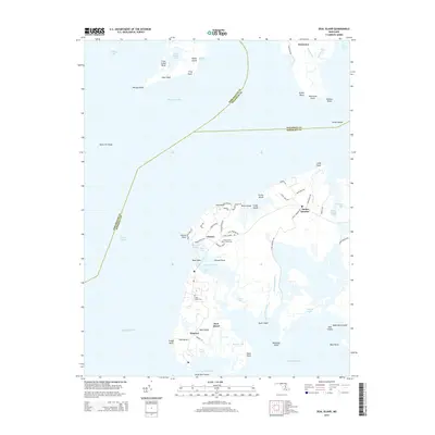
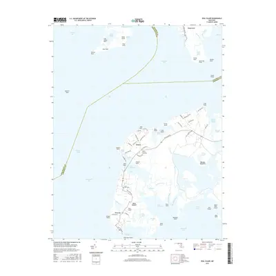
1972 Deal Island
Somerset County, MD
2011 Deal Island
Somerset County, MD
2014 Deal Island
Somerset County, MD
2016 Deal Island
Somerset County, MD
2019 Deal Island
Somerset County, MD
2023 Deal Island
Somerset County, MD