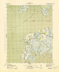
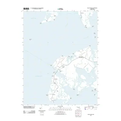
1943 Map of Deal Island
USGS Topo · Published 1943About this map
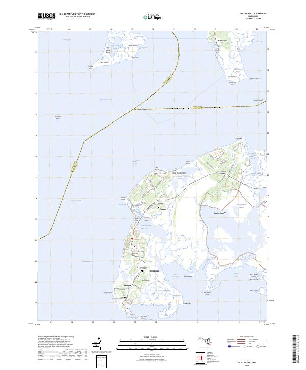
Deal Island and the surrounding marshlands of the Chesapeake Bay are meticulously documented in this mid-century War Department survey. The map details a water-dependent landscape where the Tangier Sound meets the Nanticoke River, emphasizing the intricate network of tidal guts and thorofares that define local geography. Small settlements like Wenona and Chance are shown with individual building footprints, providing a window into the layout of these coastal fishing and crabbing communities during the early 1940s.
Find a feature on this map
62 named features on this map. Tap any name to fly to it.
Don’t see what you’re looking for? This feature index may not catch every label — zoom into the map to look around manually.
Map Details
Editions of this 1943 Deal Island Map
This is the sole edition of this map. No revisions or reprints were ever made.
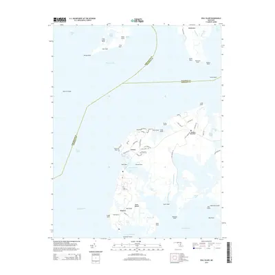
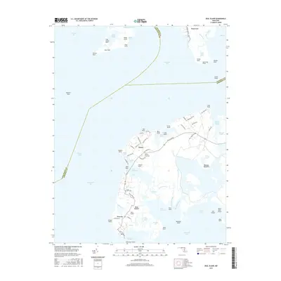
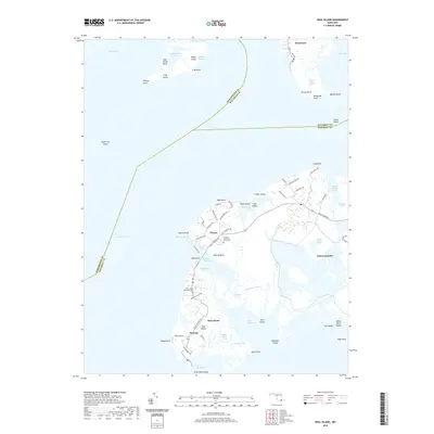
Historical Maps of Waterview Through Time
9 maps found
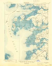
1903 Deal Island
Somerset County, MD
1942 Deal Island
Somerset County, MD
1943 Deal Island
Somerset County, MD
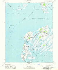
1972 Deal Island
Somerset County, MD
2011 Deal Island
Somerset County, MD
2014 Deal Island
Somerset County, MD
2016 Deal Island
Somerset County, MD
2019 Deal Island
Somerset County, MD
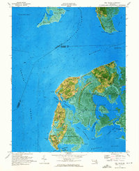
2023 Deal Island
Somerset County, MD