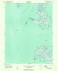
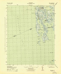
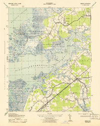
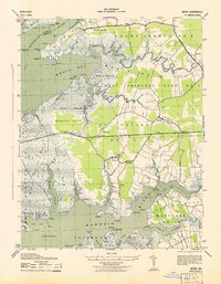
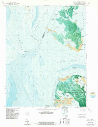
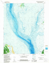
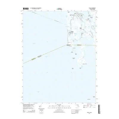
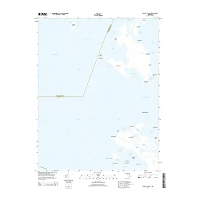
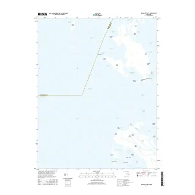
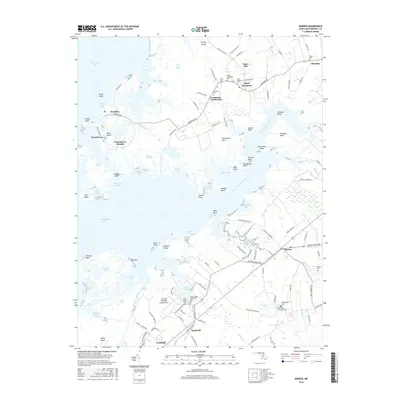
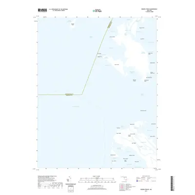
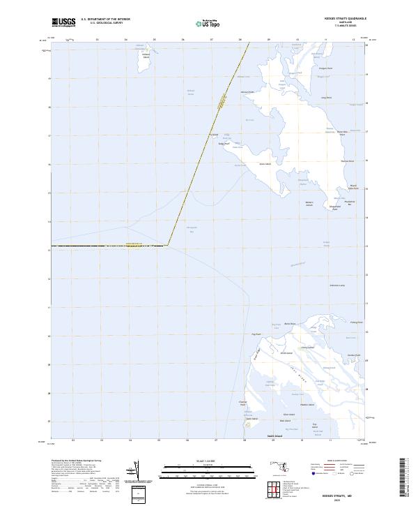
1942 Map of Kedges Straits
USGS Topo · Published 1957About this map
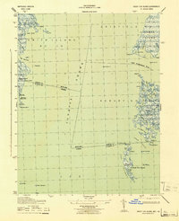
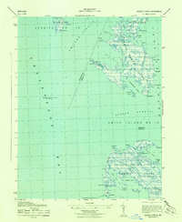
The maritime landscape of the lower Chesapeake Bay is defined here by the shifting marshlands and vital navigational aids that guided Maryland watermen during the early 1940s. Centered on South Marsh Island and the northern reaches of Smith Island, the map reveals an intricate network of tidal guts and ridges, such as Noah Ridge and Joes Ridge Creek, which dictated the movement of local fishing and crabbing fleets. This period precedes significant coastal erosion, showing a larger landmass at Holland Island than remains today.
Find a feature on this map
58 named features on this map. Tap any name to fly to it.
Don’t see what you’re looking for? This feature index may not catch every label — zoom into the map to look around manually.
Map Details
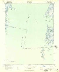
Editions of this 1942 Kedges Straits Map
This is the sole edition of this map. No revisions or reprints were ever made.
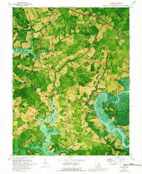
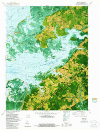
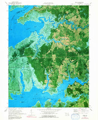
Historical Maps of Dorchester County Through Time
49 maps found
1942 Great Fox Island
Somerset County, MD
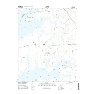
1942 Kedges Straits
Somerset County, MD

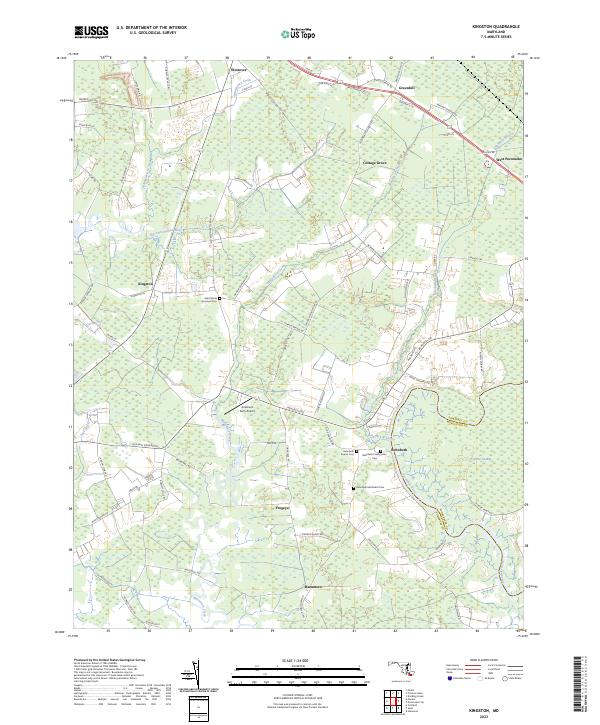
1942 Kingston
Somerset County, MD
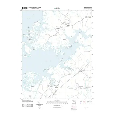
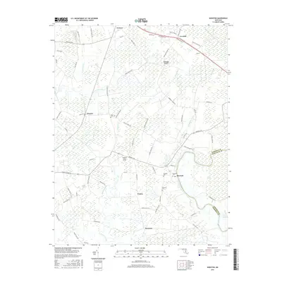
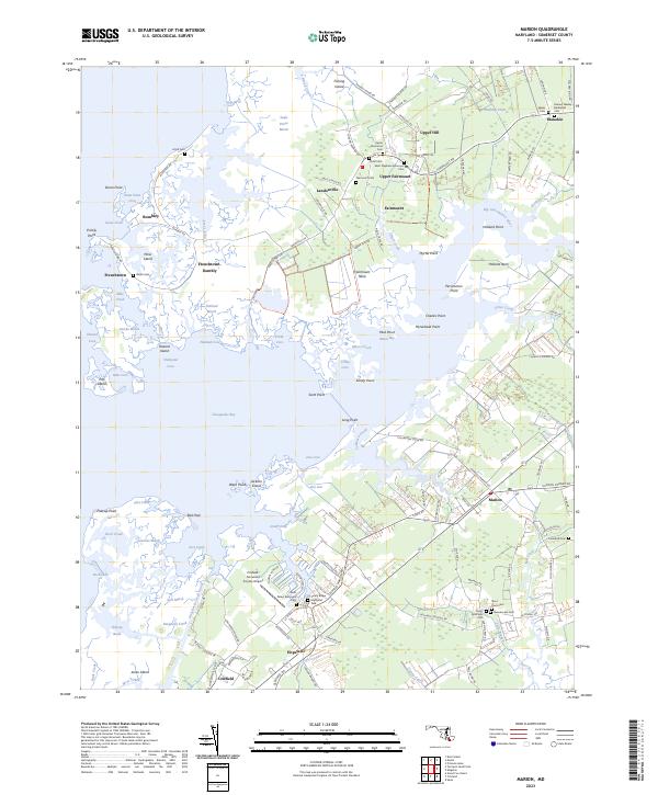
1942 Marion
Somerset County, MD

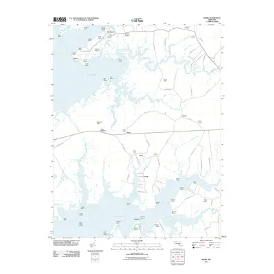
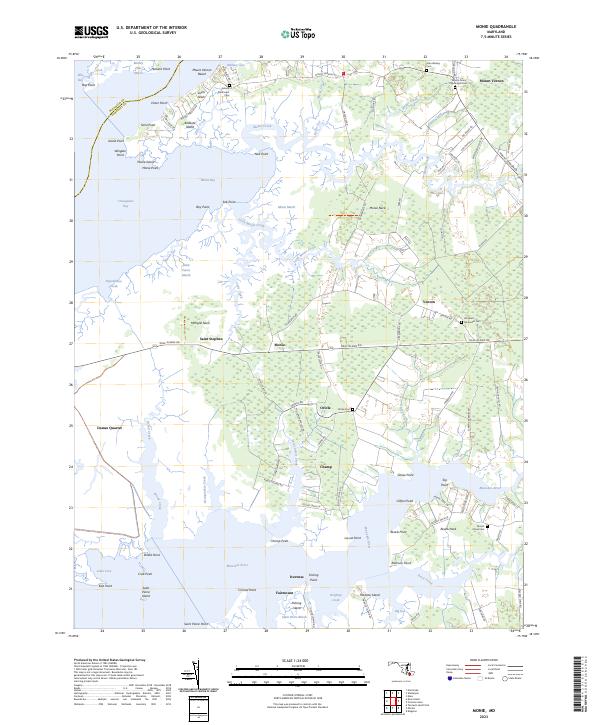
1942 Monie
Somerset County, MD
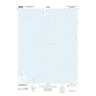
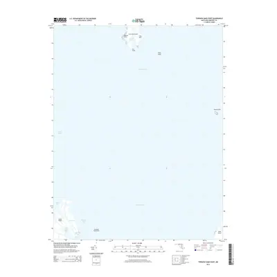
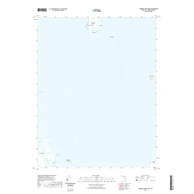
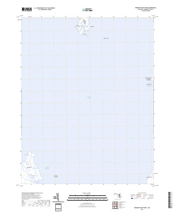
1942 Terrapin Sand Point
Somerset County, MD
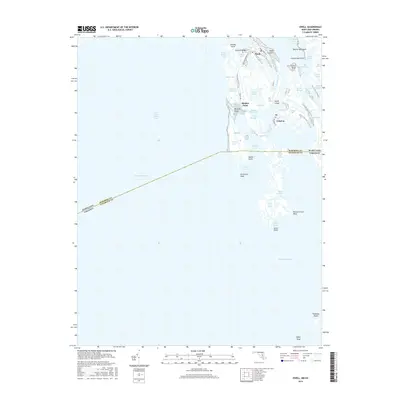
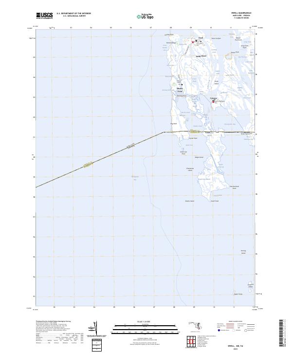
1943 Ewell
Somerset County, MD
1943 Great Fox Island
Somerset County, MD
1943 Kedges Straits
Somerset County, MD
1943 Kingston
Somerset County, MD
1943 Marion
Somerset County, MD
1943 Monie
Somerset County, MD
1943 Terrapin Sand Point
Somerset County, MD
1968 Ewell
Somerset County, MD
1972 Kedges Straits
Somerset County, MD
1972 Kingston
Somerset County, MD
1972 Marion
Somerset County, MD
1972 Monie
Somerset County, MD
1973 Terrapin Sand Point
Somerset County, MD
2011 Ewell
Somerset County, MD
2011 Kedges Straits
Somerset County, MD
2011 Kingston
Somerset County, MD
2011 Marion
Somerset County, MD
2011 Monie
Somerset County, MD
2011 Terrapin Sand Point
Somerset County, MD
2014 Ewell
Somerset County, MD
2014 Kedges Straits
Somerset County, MD
2014 Kingston
Somerset County, MD
2014 Marion
Somerset County, MD
2014 Monie
Somerset County, MD
2014 Terrapin Sand Point
Somerset County, MD
2016 Ewell
Somerset County, MD
2016 Kedges Straits
Somerset County, MD
2016 Kingston
Somerset County, MD
2016 Marion
Somerset County, MD
2016 Monie
Somerset County, MD
2017 Terrapin Sand Point
Somerset County, MD
2019 Ewell
Somerset County, MD
2019 Kedges Straits
Somerset County, MD
2019 Kingston
Somerset County, MD
2019 Marion
Somerset County, MD
2019 Monie
Somerset County, MD
2019 Terrapin Sand Point
Somerset County, MD
2023 Ewell
Somerset County, MD
2023 Kedges Straits
Somerset County, MD
2023 Kingston
Somerset County, MD
2023 Marion
Somerset County, MD
2023 Monie
Somerset County, MD
2023 Terrapin Sand Point
Somerset County, MD