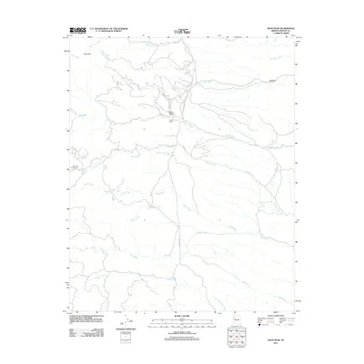
2011 Map of Dean Peak
USGS Topo · Published 2011About this map
Dean Peak and the surrounding high country of the Hualapai Mountains define this 2011 topographic survey. The landscape is characterized by a dense network of intermittent drainages including Wheeler Wash, Antelope Wash, and Moss Wash, which carve through the terrain toward lower elevations. Human presence is sparse, marked primarily by the Odle Ranch near Soap Canyon and the Wild Cow Campground tucked away in the western heights.
Find a feature on this map
26 named features on this map. Tap any name to fly to it.
Don’t see what you’re looking for? This feature index may not catch every label — zoom into the map to look around manually.
Map Details
Editions of this 2011 Dean Peak Map
This is the sole edition of this map. No revisions or reprints were ever made.
Other maps of this area

1886 · Diamond Creek
USGS Topo · 1:250,000

1892 · Diamond Creek
USGS Topo · 1:250,000

1923 · Signal
USGS Topo · 1:250,000

1942 · Signal
USGS Topo · 1:250,000

1948 · Williams
USGS Topo · 1:250,000

1950 · Prescott
USGS Topo · 1:250,000

1954 · Prescott
USGS Topo · 1:250,000

1954 · Williams
USGS Topo · 1:250,000

1956 · Williams
USGS Topo · 1:250,000

1958 · Prescott
USGS Topo · 1:250,000