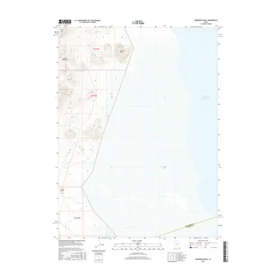
2017 Map of Deardens Knoll
USGS Topo · Published 2017About this map
Great Salt Lake dominates the eastern expanse of this Utah desert landscape, where the waters of Carrington Bay meet the arid terrain of the west. The topographical relief is defined by the Lakeside Mountains and prominent elevations such as Sally Mountain, Deardens Knoll, and Richins Knoll. This 2017 survey by the U.S. Geological Survey captures the boundary line between Box Elder and Tooele counties as it traverses the salt flats and shoreline. The map illustrates the stark geography of the Great Basin, where isolated peaks rise sharply from the basin floor, providing critical landmarks in an otherwise open and shifting shoreline environment.
Find a feature on this map
10 named features on this map. Tap any name to fly to it.
Don’t see what you’re looking for? This feature index may not catch every label — zoom into the map to look around manually.
Map Details
Editions of this 2017 Deardens Knoll Map
This is the sole edition of this map. No revisions or reprints were ever made.
Other maps of this area

1885 · Tooele Valley
USGS Topo · 1:250,000

1953 · Tooele
USGS Topo · 1:250,000

1954 · Brigham City
USGS Topo · 1:250,000

1955 · Tooele
USGS Topo · 1:250,000

1958 · Brigham City
USGS Topo · 1:250,000

1962 · Brigham City
USGS Topo · 1:250,000

1968 · Carrington Island SW
USGS Topo · 1:24,000

1968 · Deardens Knoll
USGS Topo · 1:24,000

1968 · Badger Island NW
USGS Topo · 1:24,000

1968 · Craner Peak
USGS Topo · 1:24,000