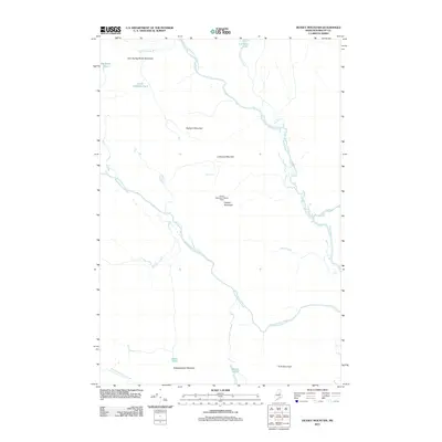
2011 Map of Deasey Mountain
USGS Topo · Published 2011About this map
The East Branch Penobscot River carves a deep path through this Penobscot County landscape, joined by major tributaries like the Wassataquoik Stream and Seboeis River. The terrain is defined by a series of prominent peaks, including Hathorn Mountain, Lunksoos Mountain, and Deasey Mountain, the latter of which features the Deasey Mountain Lookout Tower as a sentinel over the surrounding forest. This 2011 survey documents a wilderness area largely shaped by its hydrology, where significant drops in elevation are marked by Orin Falls and Gilman Falls. Smaller water bodies such as Lunksoos Lake, Little Hathorn Pond, and Deasey Ponds are scattered throughout the highlands, providing a detailed look at the drainage patterns of the Little Spring Brook Mountain and Hunt Mountain ranges. The absence of developed roads or settlements highlights the remote, preserved nature of this northern Maine interior.
Find a feature on this map
22 named features on this map. Tap any name to fly to it.
Don’t see what you’re looking for? This feature index may not catch every label — zoom into the map to look around manually.
Map Details
Editions of this 2011 Deasey Mountain Map
This is the sole edition of this map. No revisions or reprints were ever made.
Other maps of this area

1927 · Katahdin
USGS Topo · 1:48,000

1930 · Katahdin
USGS Topo · 1:62,500

1949 · Katahdin
USGS Topo · 1:62,500

1953 · Stacyville
USGS Topo · 1:62,500

1954 · Shin Pond
USGS Topo · 1:62,500

1954 · Presque Isle
USGS Topo · 1:250,000

1954 · Millinocket
USGS Topo · 1:250,000

1955 · Traveler Mountain
USGS Topo · 1:62,500

1958 · Presque Isle
USGS Topo · 1:250,000

1958 · Millinocket
USGS Topo · 1:250,000